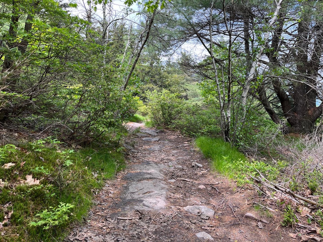
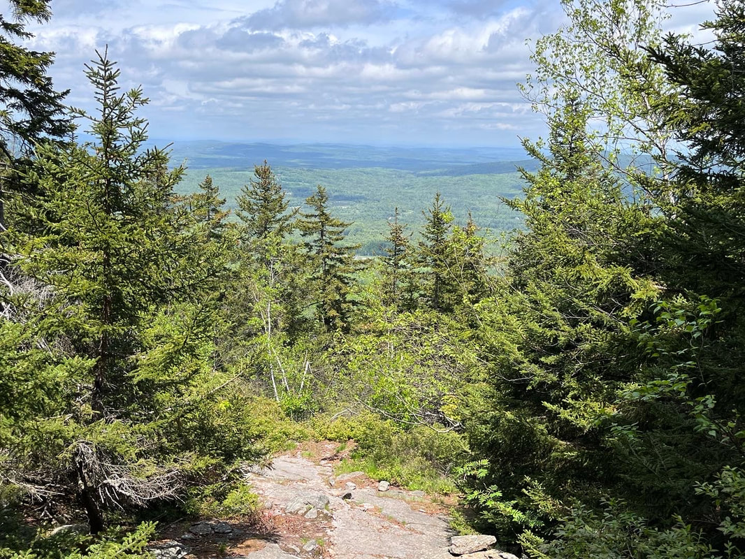
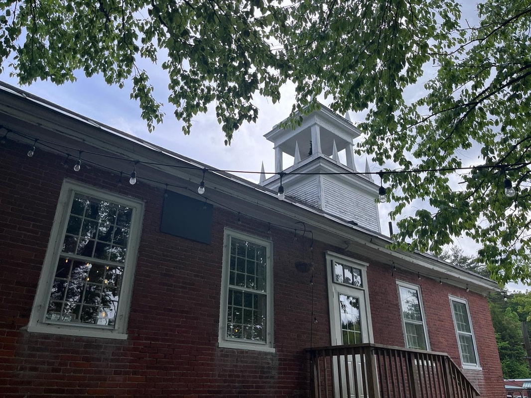
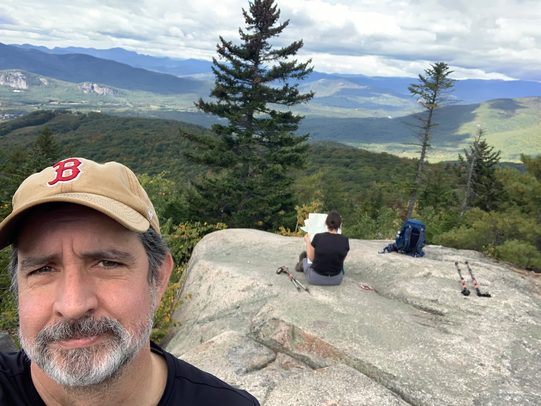
 Al and I took a post-covid camp-and-hike yesterday. The goal was to test out some new equipment we got for eventual overnights and to get a little fresh air after surviving a little over a week as the coronavirus rolled through every member of our family. Though we are all fully-vaxxed we all got sick. I hate to think of what it would have been if we weren't vaccinated. We camped within our home county (MA Middlesex) at Pearl Hill State Park. We barreled in after work and were delighted by the tall, tall, trees and the relative quiet of our site. That night--after breaking a tent pole--we fell asleep to the sound of the wind in those massive trees. We will go there again, I think. It is relatively devoid of RV's as the lots are mostly set up for tenting. That said, many of the tent sites are pretty much right on top of each other. We were there on a low day. If you go during the weekend, take a good hard look at the map! The next day we slipped over the border and hit a couple of our favorite mountains. Set slightly apart from Mount Monadnock are two smaller...er...monadnocks; Pack Monadnock and North Pack Monadnock. We decided to take a out-and-back route from North Pack to Pack and back over North to the car. This started, incidentally, at the northern terminus of the Wapack trail, a 21.5ish mile trail that starts on Mt Watatic--the "Wa" in Wapack and one of my very faves--in Massachusetts. Here is what I have to say about this hike. Don't do it in your first few days out of Covid isolation! The trail elevation was, in the end, comparable to a 4,000 footer and the length--about 9 miles--was too. In addition, we were carrying heavier packs than usual to test out the packability of our new gear. Today we are both stumbling around a bit coughing... That said, it was a pretty good hike. The clouds and occasional rain kept us good and wet for the first two-thirds of the trip but as we stumped back for our second time up North Pack, the sun came up and the views were finally cleared. In this case I cannot blame the mountains for my difficulties. I blame myself for trying to do too much too soon. It is important to listen to your body sometimes. The foliage was excellent. We saw some flowering blueberry bushes, a number of lady-slippers, and a wide variety of ferns still un-scrolling for the summer. The company was excellent, too, and we ended our hike at a small brewery in the old Grand Army of the Republic building in Peterborough New Hampshire. The GAR was an interesting group. They knew that, of course, they would eventually pass on but they built and maintained some beautiful halls and spaces for their community. On Memorial Day weekend, it seemed to be a good place to be. We were going to camp one more night but with our general condition and some heavy weather coming it we took a pass, went home, and watched the Celtics lose on TV. 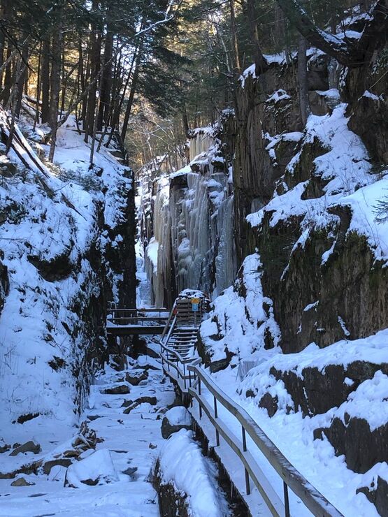 Flume Gorge in Winter Flume Gorge in Winter The experience reminded me to remind you--dear reader--that there are plenty of "non-list" hikes in NH worth doing. There are plenty of non-list hikes to do everywhere, but my MA hikes don't have a list other than my own and I will address those--like Watatic--in their own time. That said, in addition to the mountains on the Wapack Trail, here are some others I have enjoyed recently: Black Cap Mountain (and Cranmore): The top of Black Cap is the real draw on this short and relatively easy hike. We also hit "Mt Cranmore" which is really a lower spur of Black Cap and home to the Mt. Cranmore ski trails. Arethusa Falls: This is not a mountain but...it is a fantastic hike with a lovely waterfall at the end. It is, however, more of a hike than one might at first think. Eagle Mountain: There are probably a few mountains with the same name so I will be more specific. You access this trail from behind the Eagle Mountain Resort--a cool old hotel--in Jackson. It only take an hour or so to do but it is a fun hike if you have a short time window. The link is to the resort. You deserve it. Flume Gorge: We hiked this mid-winter so did not hike through the gorge. Instead we hiked above it and looked through. It was a fabulous hike with cool views. So there yah go! The next time you are in New Hampshire and don't want to spend your day bagging peaks but would like a cool view and a lovely walk, I recommend doing all or any of them. Just don't do it when you are sick.
0 Comments
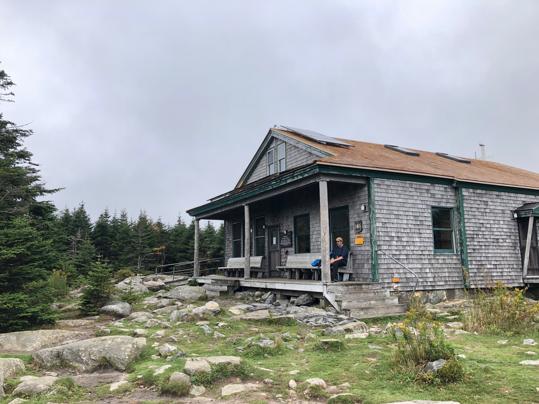
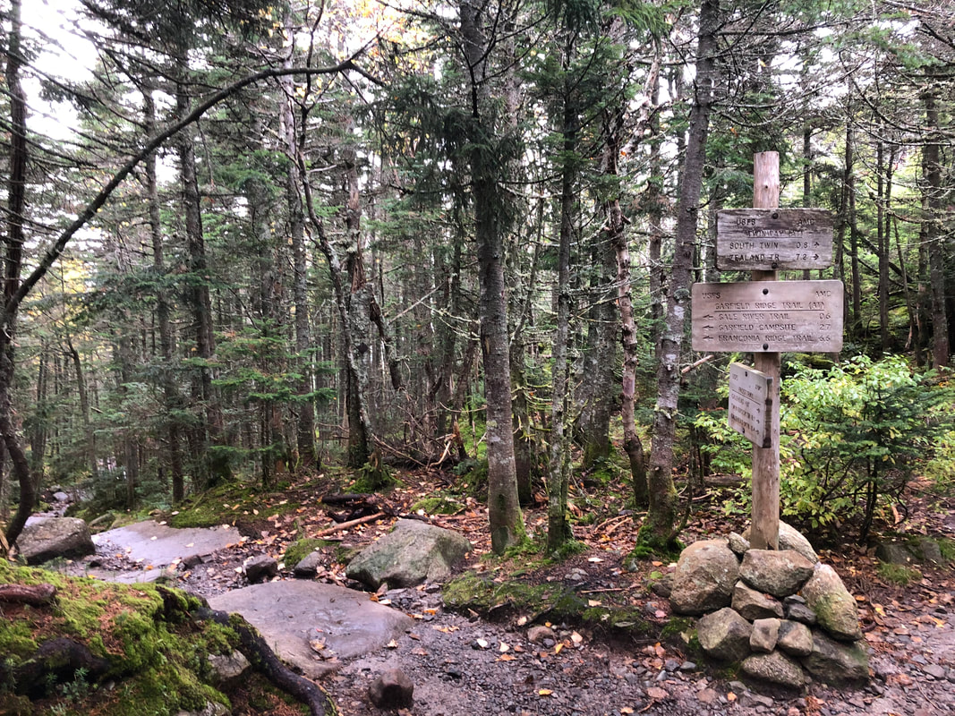
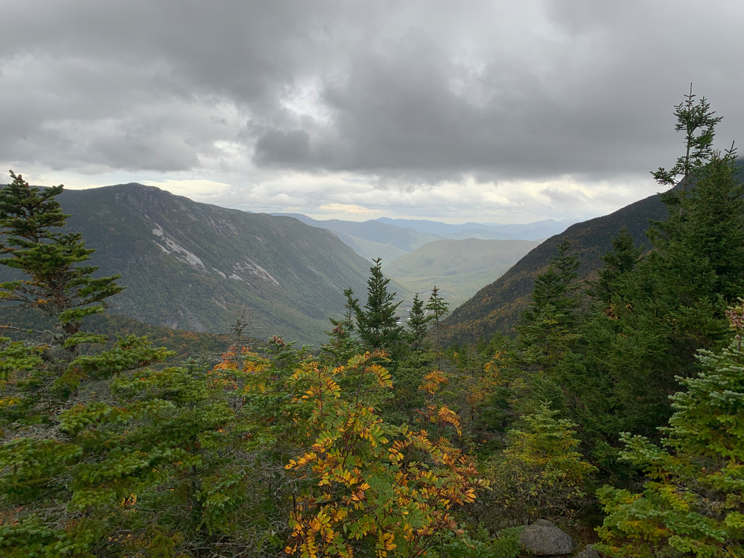
Dear Folks, I am in the process of catching people up with some early hikes and other encounters with nature that I thought people might find interesting as part of a "How It Began" (HIB) series. Mostly this will describe specific hikes and perhaps some lessons learned along the way...if there are any. They are meant to be short and, perhaps helpful in some way to other hikers or fellow-travelers. I will post the dates of when I hiked a specific mountain since the ones in this series are NOT posted at or near the date hiked. SEPTEMBER 28, 2021 As I sit here typing up this particular hike 8 months later, I am in the process of recovering from Covid and planning a return to backpacking--as opposed to day-hiking--which I haven't done in decades. I am finding the process of getting back on the trail to be a bit intimidating. I feel tired and out of shape. I am getting confused by pack weights and whether I can even move with something that heavy on my back. This hike keeps springing to mind. It is both encouraging and not. The first part--and the middle were I to be honest--remind me that these things can be miserable and exhausting. The last part, though, was very near the top of my favorite hikes of all time. Life is like that. We have peaks and valleys--literally sometimes--and we learn from them while also hoping that they drive us forward more than they hold us back. Deep right? That is what they pay me for... This hike was planned during the hike, itself. This is never a good idea or--at least--it comes with risks. We had planned an out-and-back route up Galehead. This 4,000 footer has its adherents as a solid hike with a reward--a cool AMC hut--at the end. For those who may not know, sprinkled about in hiking-land are a variety of lodges, "huts" and other cool support structures that make fun discoveries while you are out. When I was hiking the approach to the Appalachian Trail in Georgia I came across an entire eco-hotel! That, though, will be a different post. The Galehead Hut has bunk rooms and a small store for small hiker stuff (snacks, band-aids, puncture repair kits and the like). Also, they serve food...sort of. If you reserve a stay there, they feed you. If you don't and just swing by on your way to the top you can buy some leftover soup if there is any left. This is very cool and a key part of the tale. 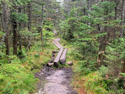 Generally--at that time in our hiking--it was just hard. At one point we met a guy who had made the same mistake in the opposite direction. He opened with a lament; "Why did I decide to take this trail so late in the day?" "Why did we?!" was our response. Then, when we inquired as to what the trail looked like behind him--and in front of us--he got a faraway look in his eyes. "The worst is yet to come for you...I am sorry," he told us. Then he turned his sweaty, mud covered face away to continue on to Galehead with a haunted look in his eyes. What we encountered shortly thereafter was a crazy cliff/waterfall that we had to scale with rocks rolling off our feet and nearly bonking the other as we scrambled forward. That said, I looked back at one point and admired the view. Then I looked down to where we had come. Sadly I ruled out taking a picture because I didn't want to fall. The stranger thought we would have the worst of it going up. I have no idea how he managed to get down. Finally? We made it to the top of Garfield around 4pm with 6ish miles to go. Needless to say we were well aware by this point that much of our hike down would be in the dark. However, we were content. Garfield's view is--full 360--spectacular. There was no reason to rush anymore with the damage done. We took our time with the view, dug out our headlamps, refueled, and started home.
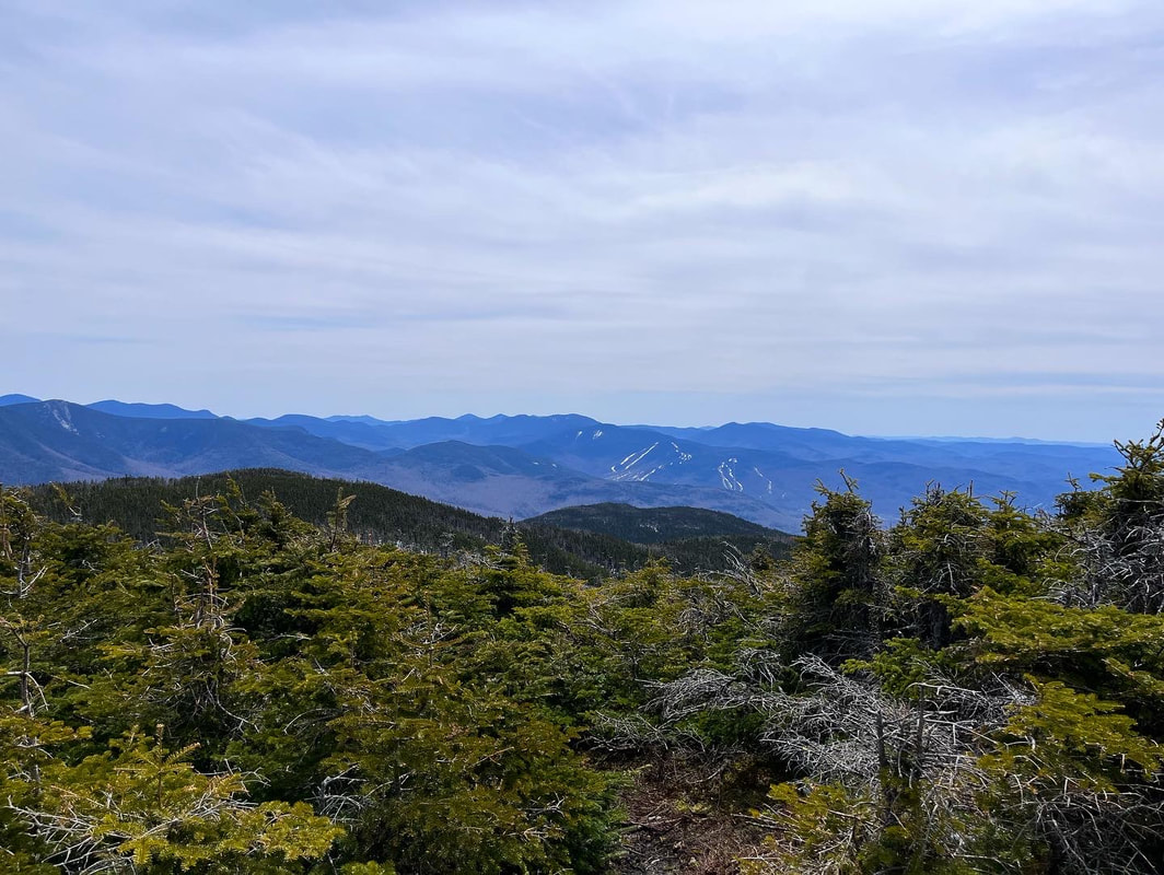
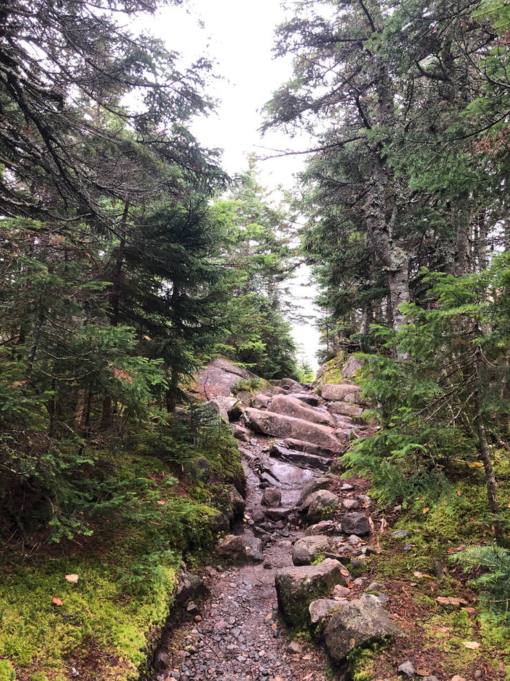
In the end we had a dinner of gas station snacks and BK cheeseburgers because everywhere else was closed. If I had it to do over again, I probably wouldn't have dallied at Galehead. We started our hike pretty early but were moving slow thanks to the four peaks we summitted the day before. Soup is nice and all but not worth the amount of time we spent. I would take a closer look at the map, too. The whole day was over 16 miles. Honestly, though, I don't see climbing Galehead again. I will just take the easy way up Garfield. MAY 14, 2022 Mount Moriah was a bit of a compromise. It is on the list of New Hampshire's 48 4,000 footers. It was #20 for me, which feels a bit momentous. Allison is well over halfway at #25 now. The compromise had to do with time. We are getting to the point where overnights and such will be necessary. Ultimately this is a good thing. We (particularly Al) are getting more serious now. It will make better ecological sense when we are up there for longer strings of hikes. Moriah, however, is one of the last free-standing mountains on the list... We took the slightly longer route of Stony Brook Trail to Carter-Moriah Trail. The extra mile flattened things out a tiny bit. There is always plenty of elevation on a mountain like this--3,400 feet of it but the approach enabled us to do some very pretty ridge-walking which the other trail did not have. The other trail takes Carter-Moriah up from the other side and is generally faster. The book claims our hike was 10 miles out and back, but it felt a bit longer than that. Not in a bad way...it just did. The weather was beautiful on the way up. It started flatish for a couple miles and then the climb began in earnest. My biggest problem was water. I need a lot of it, apparently, and did not have either the water purifying iodine drops or the water filter. Careful rationing worked but I was sooo thirsty when I got back to the car! 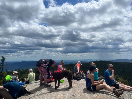 The extra views were totally worth it, by the way. It became clear that we had taken the road less travelled. There were a couple other groups slow-hiking, a trail runner, and a young hiker who was cruising up and down. Not a big crowd, though. We were evenly spaced as well, which means that we got our views in relative isolation. Microspikes were still needed for the last couple of miles as there was abundant ice and slush in the shade. Remember the views? Well, the peak involved a steep scramble and then we broke out on the tiny bald top, which was crowded! The road-most-taken was pretty popular on this particular glorious spring day so we settled in an ignored spot just off the peak and chatted to another 48er about our previous hikes, complained about the crowd, etc. It is spring now and weekends are packed. Most people I know are of two minds about the high hiker population this time of year. Partly it is good to have so many folks exploring and exercising. It is good for them and--even though it taxes the trails--it is good for the environment to have people feel a sense of connection. It makes them more likely to advocate for environmental legislation and regulation--including trail restrictions--and to make personal lifestyle changes. That said, I--along with most folks--prefer those days when no one is around. Also, it is totally OK to worry about the environmental impact. I don't recommend heading out to the big peaks in NH this time of year if you want isolation. It is crowded! Personally I prefer less-famous places in Northern New England and local hikes here in Massachusetts. I am working on a list, in fact, and will share it when it is done. There is more room to move on these hikes and the views aren't so obstructed by humanity. Al prefers the big peaks, though, so for our equivalent of "date night" the NH48 are almost always on the menu. After all, the crowds are bigger these days but the personal challenge is the same. What I don't think is cool is the level of hostility toward "visitors". I am one, after all. Yes, many hikers (though probably not most) are currently living out of state. However, you can't really tell who is who up there. People are making snap judgments based on appearance, accents, and whether one is "in the way" of the observer. The mountains are, for the most part, on federal land or in federally funded state parks. Everyone has the right to be there because everybody's taxes (and parking fees) pay for it. There have been some snide comments directed at us and other hikers from people who assume they have a greater right to the trail. What is weird to me is that everyone there is a visitor in some way. They just want to be the only one who actually belongs. I see this in other parts of my life, too. It can happen pretty much anywhere somebody has found their "special thing" that brings them joy. Then you are either "in" (or part of what the person has defined as what brings joy) or "out" (an obstacle or distraction from the sought after perfection). I have stopped going to festivals and retreat centers where this is the dominant vibe, particularly when I feel that I am becoming part of that "in" group. We watch for this bias at our church, too. It is a common one in many religious organizations that should be about everybody finding a home. Some people like to complain about all the interlopers on their day. I am not a fan of isolationism or of racism. At times--particularly online--that appears to be where we are going in so many of the communities I am a part of. I get being proud of your place--whether you live there or just visit a lot--but it still gets to be someone else's place, too. Culturally New Englanders--and I suspect many others--take great joy in drawing as tight a circle of belonging as possible. Though I have lived here for two decades it has been made clear to me many times--implicitly and explicitly--that I will never really "belong" in Natick. When I go home to Maine it is made clear that I don't belong there either. Hiking can be no different. We have to make room for each other. One way to make room is to hike the trail others aren't hiking. Back on the road-not-taken it was just us once again. We navigated the ice, ran out of water, chatted with an adventurous older couple, and made it back to the car in time to grab an early dinner.
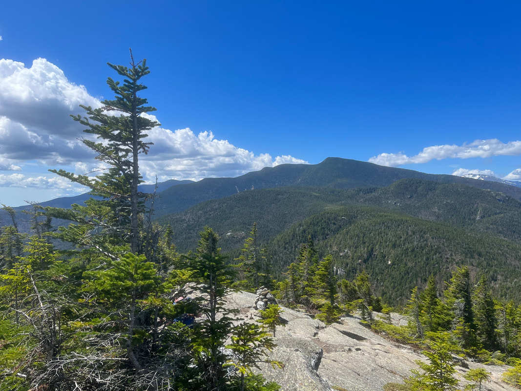
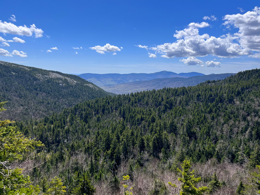
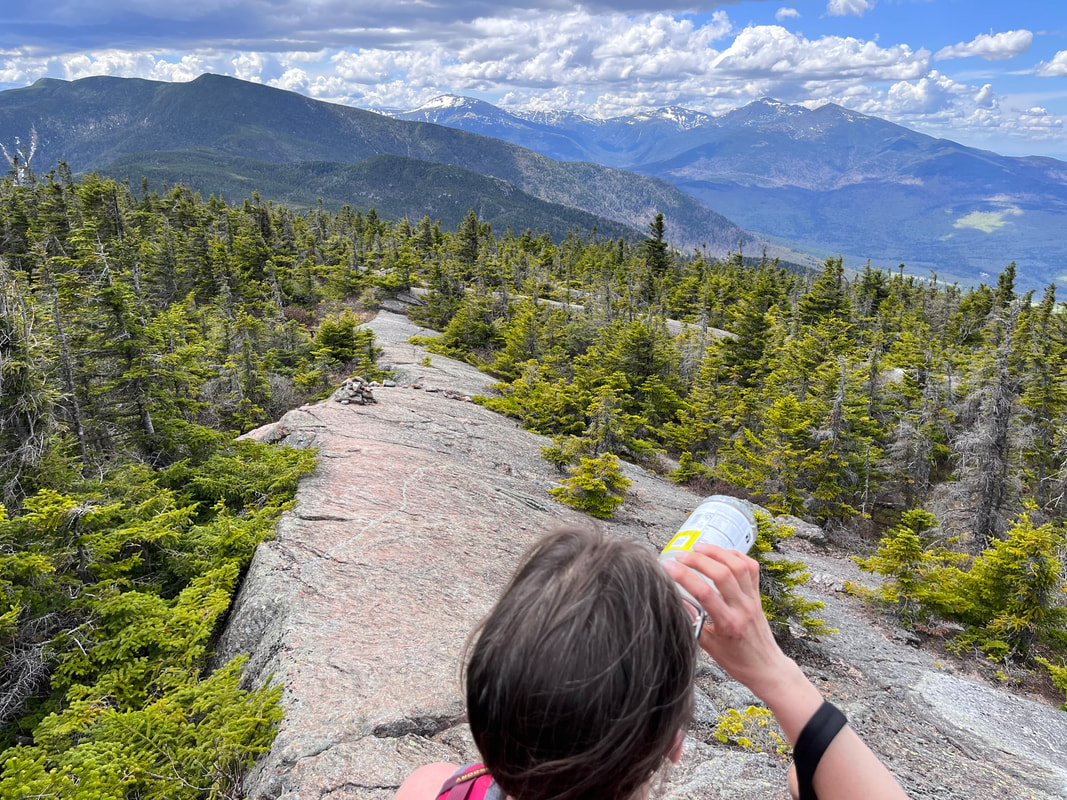
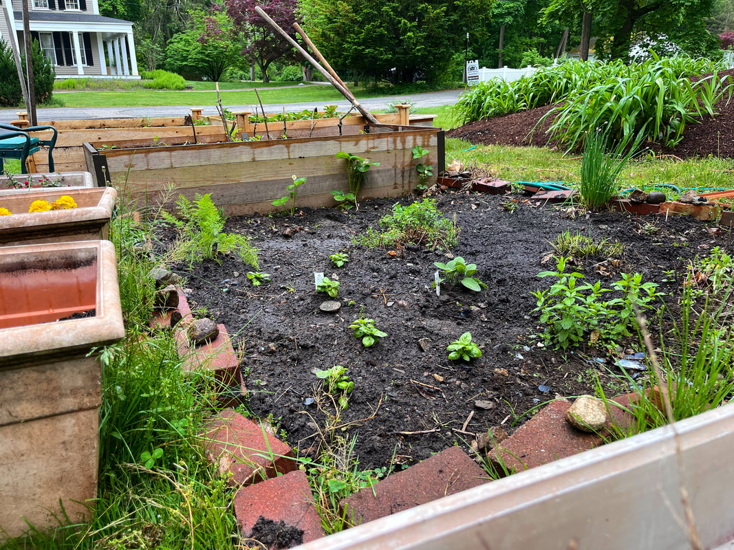
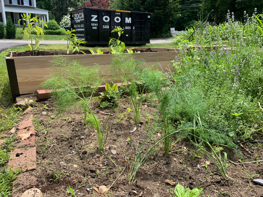
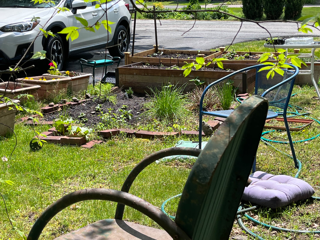
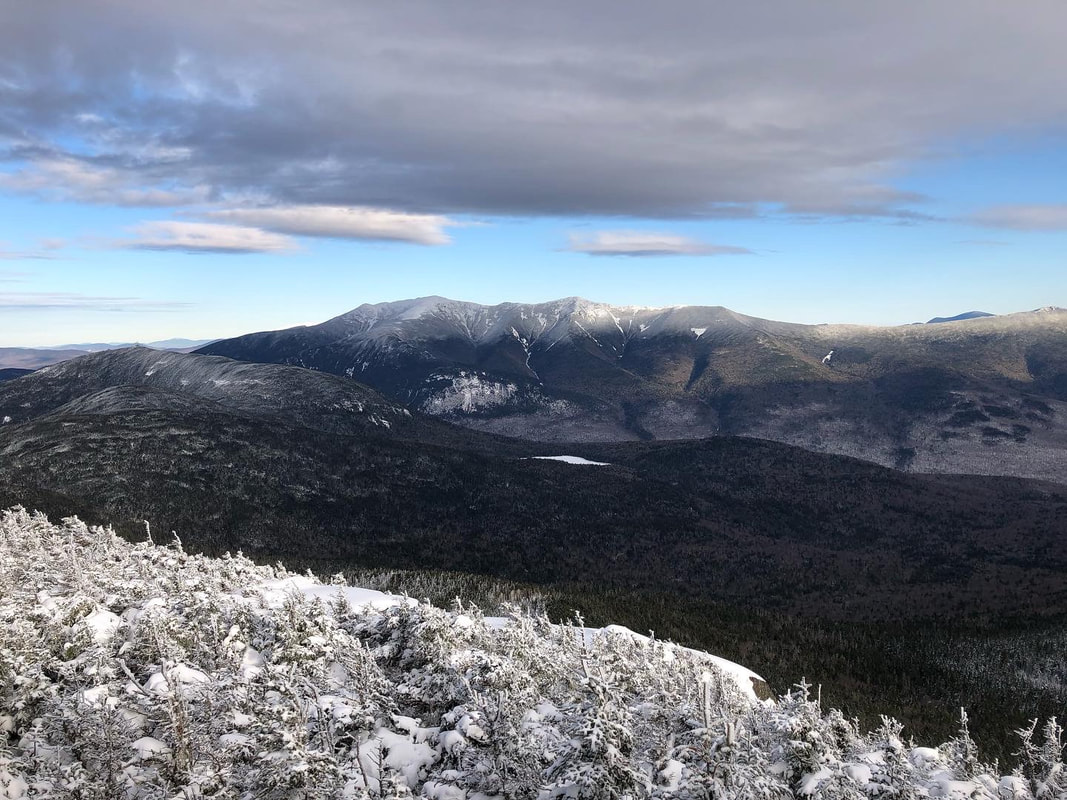
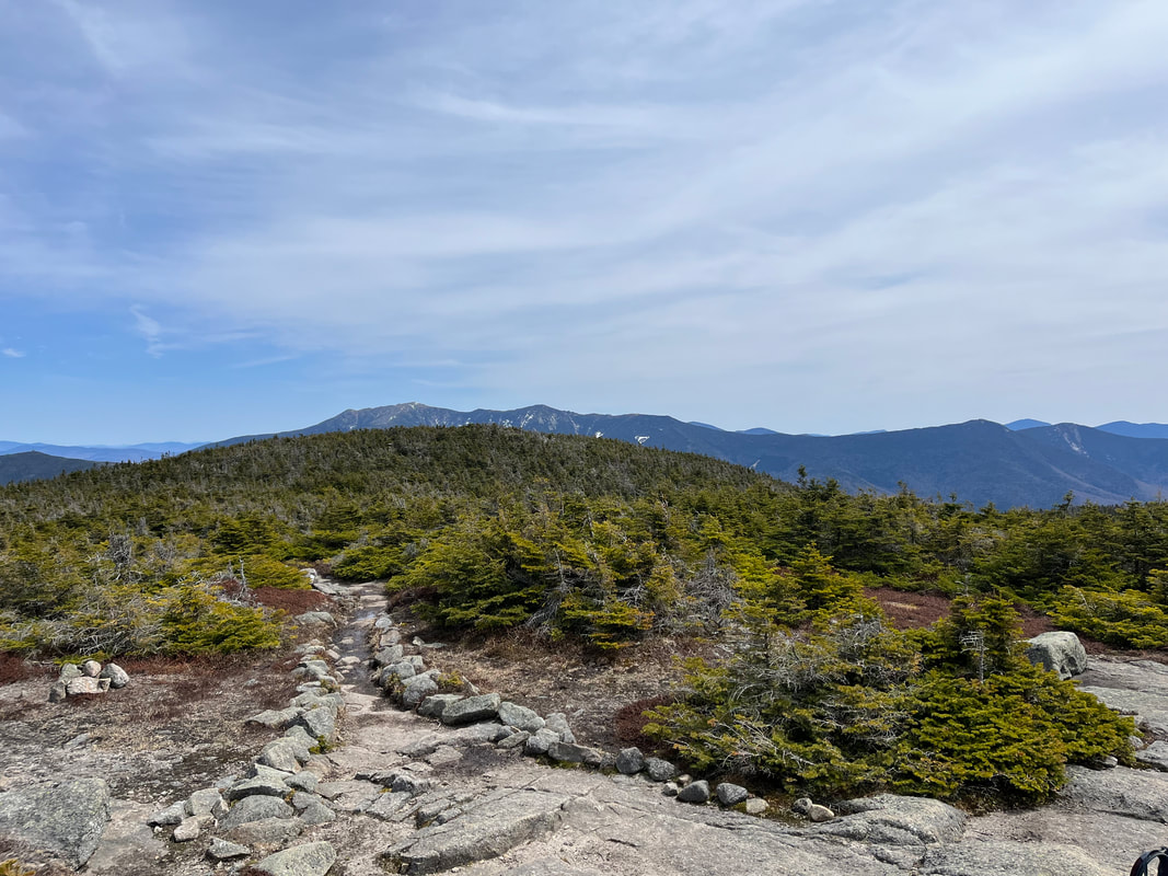
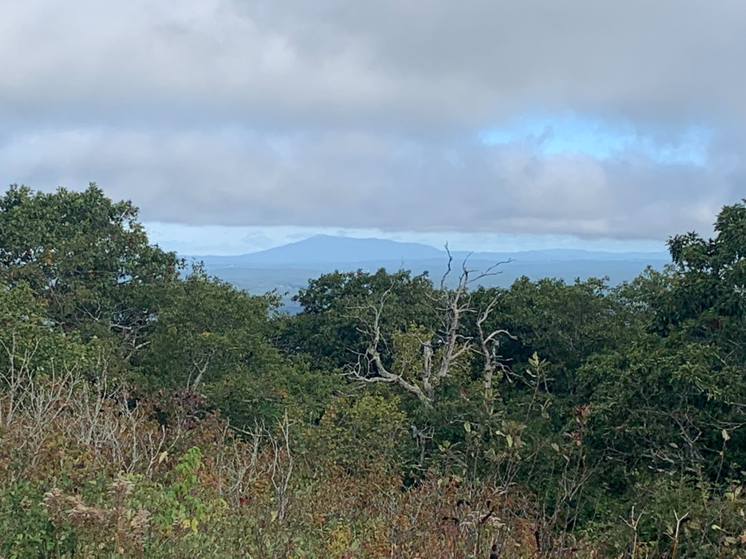
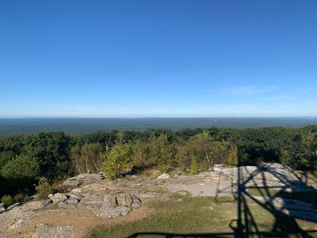
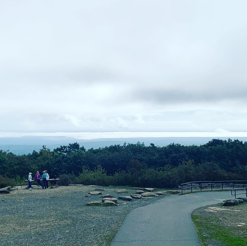
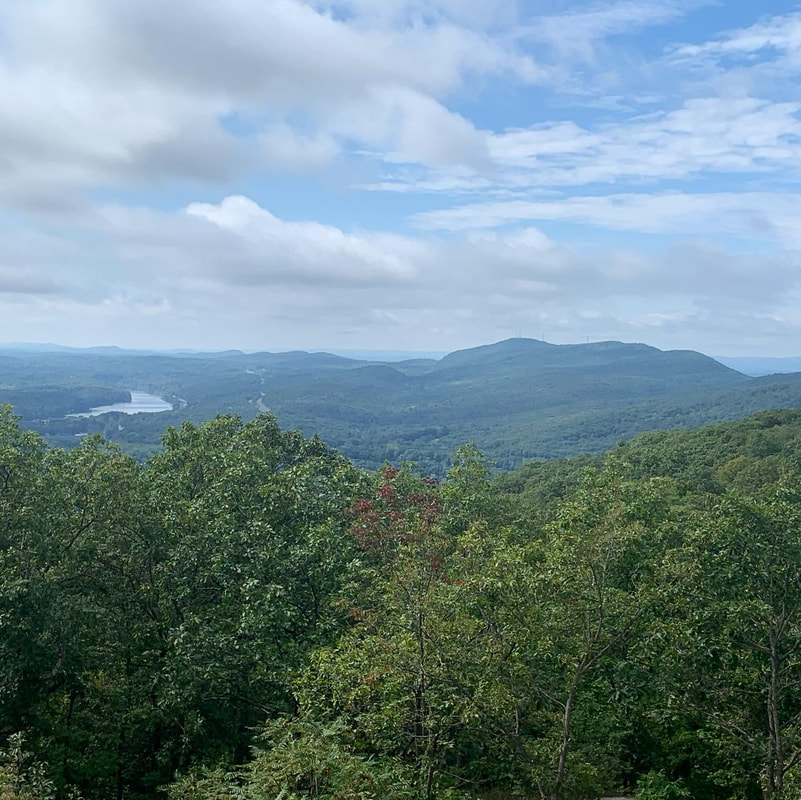
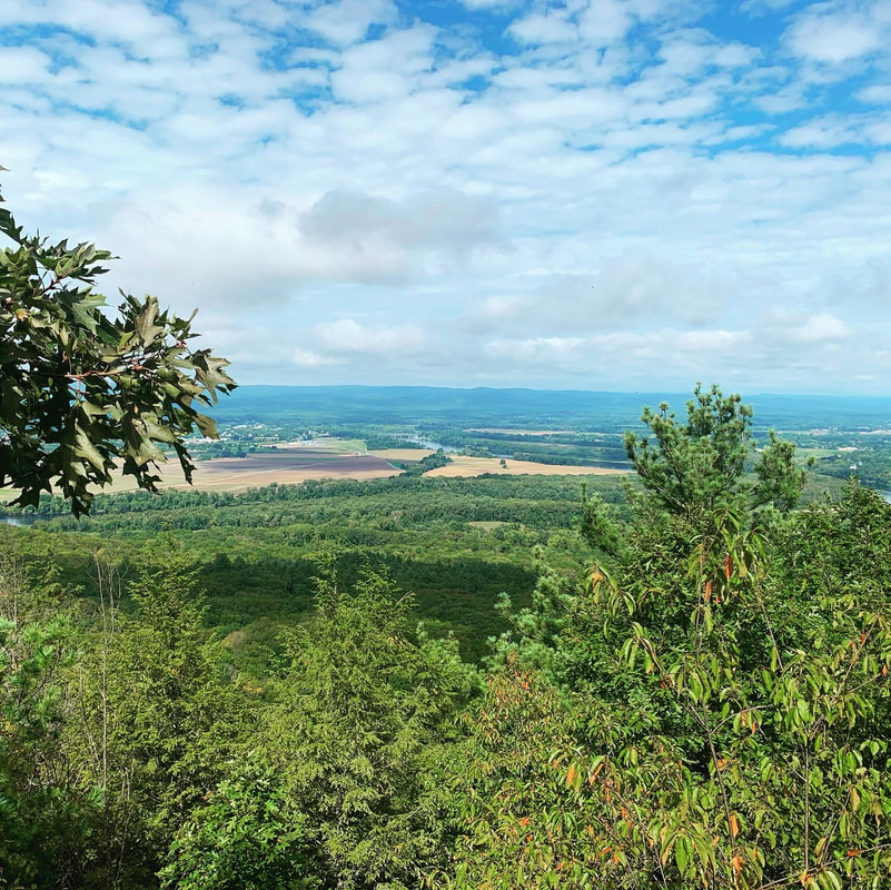
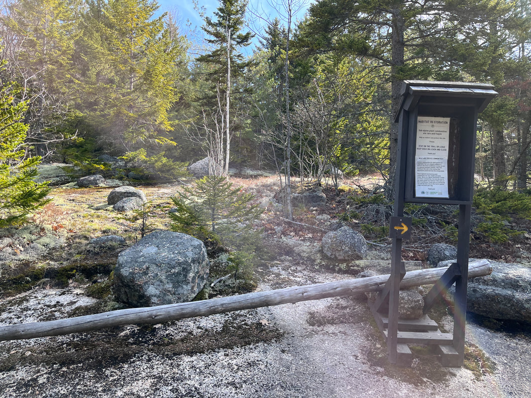
Again, this isn't really just a hiking blog. That is no more true than right now. A family-wide Covid epidemic has left us isolated at home and sick as dogs. Thankfully, we are vaccinated. I actually had my second booster the day my wife started showing symptoms. Though that last shot turned out to be a couple weeks too late, I am glad for the other ones. Who knows how horrid it would have been otherwise. Anyway, this hiatus from our usual weekend hiking expeditions has made me realize how important they are. The hiking part is important, sure. More important, however, is just being outdoors. Being cooped up indoors most of the time is exhausting more than any hike. It is why I don't like winter. You are either moving around skiing, snowshoeing or whatever or you are trapped at the office or the living room. It is hard to just sit. Drives me crazy. So the past few days on into the weekend I am getting familiar with my garden. The garden is pretty much my project. My eldest son--who normally grows vegetables for a living--has customarily helped, but now he is on the Appalachian Trail. Middle son--who also grows veg--has no interest in more gardening when he gets home from work. Youngest son hates gardens and vegetables. My wife is content to let it be my project. This means it usually takes a back seat to hiking and any other free-time activities. But here I am...sick. So the past few days have consisted of me planting, weeding, dividing, and harvesting...runny nose, startling hacking cough and all. Then, exhausted, I stumble into the shade with my coffee to stare at the garden while I plan my next project...once I catch my breath. My garden--two raised beds, an herb bed, and some old plastic planters--is not pretty. Even when everything is in peak season it has the look of an amateur. That said, it is important to me. It is another way to interact with nature. It is a way to touch the ground even in my imperfection. 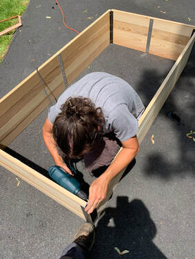 Mid-plague when we were all falling apart and I couldn't walk more than a few feet my eldest bought me a little kneeler so I could weed the herb bed, which was all we had at the time. Then he lobbied me to buy myself the first raised bed. After the surgery on my back, he helped me put it together. It is a good memory in a dark time. I still couldn't walk much or well. Now, though, I could be outside with a reason other than feeling sad. Yeah, I had "outdoor office hours" during the plague and I am outdoors typing right now. Still, it was [and is] different when you are doing inside activities outside. My neighbors probably think I am total nerd for doing this...which I am. The garden also gave us something to talk about. It wasn't that we lacked topics! Still, this one is different. It is about resurrection and growth. It is about getting better in spite of everything that holds us down. Now--while he is marching across Virginia--I text him garden questions and send him pictures a couple times a week. It is something to share other than mountain pics, which are a bit coals-to-Newcastle right now. 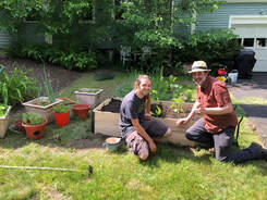 This week I divided the near-dead lavender. I hardened-off and planted some iffy pepper plants, basil, sage, fennel (for the flowers and the parasitic wasps that will make it home) rosemary and bush cukes. I made a tiny salad out of the greens that are coming up. I searched for and found a few reluctant perennials as they made their appearance, marking them off with parts of a pair of glasses I broke in my delirium. Then I wrestled with the mint. I have some spaces open for kale and eggplant and some empty flower pots still but--given my positive status--it is all over except the watering and weeding for a a couple more days. Now it is getting hot. So here are some pictures of my ugly garden. The middle ones are from past years. The first and last are from this week, taken from the relative shade of the parsonage during coffee breaks. You can see the kneeler in its "banjo seat" position. May your encounters with Creation be good ones this weekend, whatever they may be. I know that this weblog looks for all the world like it is about hiking. However...it is a little broader than that. As I have mentioned in other places, it is an attempt to find ways to experience spiritual connection in nature, and outside of church. What we think of as church is dying. The plague has accelerated the tendencies that already existed in our society. I am not worried. People are still finding social and spiritual connection. They are continuing to be active in the world. All this writing is part of a larger project just forming as part of my sabbatical time next year. Yes, ministers (many of them at least) get sabbaticals. They are not as long as the ones we know of from academia or business. They still exist, though. Mine is formed to delve into this question of connection and to report back here and in other places...like church...which I said was on its way out but still serves many many people who are asking life's deep questions. Anyway, this is a sermon inspired by my project and delivered to the Eliot Church of Natick, MA. It is non-creedal, so people have a wide range of views on religion and theology. Still, they have these questions and like examining them together. I preach most weeks and will NOT be posting many sermons here. This one did seem to be relevant however... 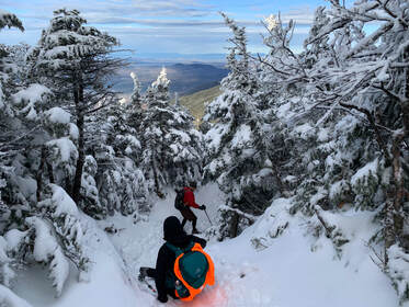 DECEMBER 4, 2021 and May 7, 2022 I will not lose, for even in defeat, there’s a valuable lesson learned, so it evens up for me. --Jay-Z So this is a story of failure and learning and later...success. I figured I would tell you that right up front. It took us two hikes to cover both of the Mount Kinsmans. They are almost always done together but...well... let's talk... On December 3, 2021, we went to party. At said party we decided to hike the Kinsmans (North and South) in New Hampshire the next day. It would be--for me and Al--our first "winter hike" and we were eager to try it out. Our friend Howard hiked with us as did Carly Simon (his lovely dog). I should say, for a first attempt at this level of complexity we did pretty well. These mountains are pretty tall, with North coming in at 4,293 feet and South at a slightly taller 4,358 feet. We chose the Mount Kinsman Trail instead of the more popular--and shorter--trails on the other side of the ridge. We usually favor lower inclines and accept the extra miles they bring. The trip was beautiful and the views were fabulous, including a spur to Bald Peak early in our climb. However, it was also pretty darned difficult and when we hit North K we were tired. OK...they were tired and I was super-tired. Also, we had gotten a late start and I don't think any of us were fancying the hours-long climb down in the dark. After a few moments of discussion on the approach to South we turned back. It was a depressing moment. In the end we hiked about 8 miles in the snow, bagged a peak, and congratulated ourselves on our accomplishment but...it still didn't feel quite right. It was not what we planned. 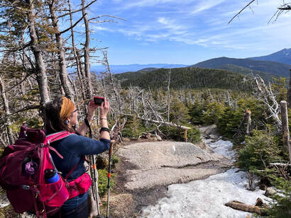 The one spring pic with ice. The one spring pic with ice. Fast forward to this past Saturday. We decided to attempt it once again. It was just me and Al this time and was our "Mother's Day Observed" celebration. Here is where I want to digress a bit. If this was some sort of morality tale or life lesson the easiest thing would be to hit the "try try again" button, take our bows, and move on. Yet that doesn't seem right, because that first hike was an important one. We learned--or I learned--a ton that made hiking in general (and therefore experiencing nature) easier and more enjoyable. After that December hike we did a few things. First, we made a rule to get plenty of sleep. No more parties the night before! Second, we took some shorter--but still quite challenging--winter hikes off the 52WAV list. Willard and Pemigewasset remain two of my favorites. This enabled us to figure out our gear and our winter pace. They also enabled me to appreciate the winter journey more than I did puffing up North K. Third, we made a decision to always start early. This is important. At our pace we really didn't have the time to get back before dark the first time. We could have hiked back in the dark. We weren't concerned about our abilities. We had hiked in the dark before. Still it would not have been pleasant and we do this because we enjoy it. Fourth and finally, I hit the gym and changed my diet a bit. Many hikers think of hiking as the way they exercise and it certainly is that for me. That said, There is a lot going on in my 51 year old vessel and if hiking is going to be more than exercise, I need to be caring for myself regularly. The Kinsmans taught me that too. At some point I will write about Willard and Pemigewasset, as well as three 4,000 footers we hiked in winter; Liberty, North Hancock, and South Hancock. There were other hikes as well where the snow wasn't as much of a factor. That is enough description of them for now. It's just a teaser for future posts. What is important to know is that first attempt made me--and us--change some things for the better. 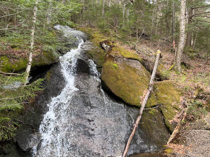 Anyway, that was the context for our return to the Kinsmans. We returned in better shape with a better understanding of what we were doing. The climb was mostly straightforward. We skipped Bald Peak, having already seen it and with a particular goal in mind. Then, as we headed up, we encountered...winter again. If you are hiking this in April or May, it is worth noting that, while you may not need your snowshoes, you still need your microspikes. Our pictures don't show it but after a while the trail was covered in a hard later of ice, which was more of a challenge than the snow. This slowed us down and created a different set of challenges. Al likes the snow. I like no snow ever. We both agreed that the ice below the tree line was worse. That said, we continued on over North Kinsman once again, then out to South Kinsman along the ridge and ultimately victory! I was glad we returned. Sure, existentially it was nice to get it done, but that ridge was lovely and worth experiencing on its own. the view from South--while not as breathtaking as the one from North--was pretty nice too. Of course we stopped at North on our way back to check it out one more time. There is something I will miss from the winter, though. Bad weather creates community. There are people I only see on the top of mountains as there is a loose group of hikers who do this regularly for fun. When we see fellow hiker we stop and talk even if we haven't met. We compare weather conditions and gear and where we are on the list. On Pemigewasset, for example, we had a lovely chat with a couple of young people about hiking and nature in general. If you were out that day you were pretty committed, after all, so there were plenty of overlapping interests. Over the winter and early spring this group has the mountains to ourselves and we know that the people we see are trail-nerds like us. We are likely in the same Facebook groups! However on this trip there were a bunch of normal people out. The regular hiker-sorts passed the time of day as usual and we took pictures of each other--I always hope my taking-portraits-of-strangers-on-mountains skills are up to snuff--but it was different. The muggles who were hiking were confused by the strangers trying to communicate. It was good they were getting out but the "list hikers" became "odd" people again. Next winter I will probably do more hiking even though I despise snow...I miss the people already. The whole trip was about 10.5 miles. The weather will only improve for a while. Neither hike was my favorite but it was worth doing and I am grateful for what it taught me.. Now on to the next one...whenever that will be. Dear Folks, I am in the process of catching people up with some early hikes and other encounters with nature that I thought people might find interesting as part of a "How It Began" (HIB) series. Mostly this will describe specific hikes and perhaps some lessons learned along the way...if there are any. They are meant to be short and, perhaps helpful in some way to other hikers or fellow-travelers. I will post the dates of when I hiked a specific mountain since the ones in this series are NOT posted at or near the date hiked. 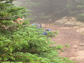 SEPTEMBER 27, 2021 What a hike this was. We took a few days and stayed up north to get some hiking done. First up was the 10.2 mile loop of Tom, Field, and Willey--all 4,000 footers--and the slightly smaller Mount Avalon. We had a somewhat rainy and overcast day for it, but we had taken the time off and up we went. When I say "loop" I am being somewhat generous. The map looks like a lollipop that was dipped in fuzz. We chose Mount Tom first (off a spur from the Main trail). Then we hit Field for the first time. Then there was a longish hike to Willey, then back to Field as the fog closed us in and a return to the actual loop onto Avalon where, blessedly, we experienced one of the best views ever. Dear Folks, I am in the process of catching people up with some early hikes and other encounters with nature that I thought people might find interesting as part of a "How It Began" (HIB) series. Mostly this will describe specific hikes and perhaps some lessons learned along the way...if there are any. They are meant to be short and, perhaps helpful in some way to other hikers or fellow-travelers. I will post the dates of when I hiked a specific mountain since the ones in this series are NOT posted at or near the date hiked. 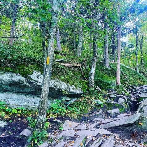 SEPTEMBER 21, 2021 But special I remember thee, Wachusett, who like me Standest alone without society. Thy far blue eye, A remnant of the sky, Seen through the clearing or the gorge, Or from the windows on the forge, Doth leaven all it passes by. Nothing is true, But stands 'tween me and you, Thou western pioneer, Who know'st not shame nor fear, By venturous spirit driven, Under the eaves of heaven, And can'st expand thee there, And breathe enough of air? Upholding heaven, holding down earth, Thy pastime from thy birth, Not steadied by the one, nor leaning on the other; May I approve myself thy worthy brother! from "A Walk to Wachusett" by Henry David Thoreau 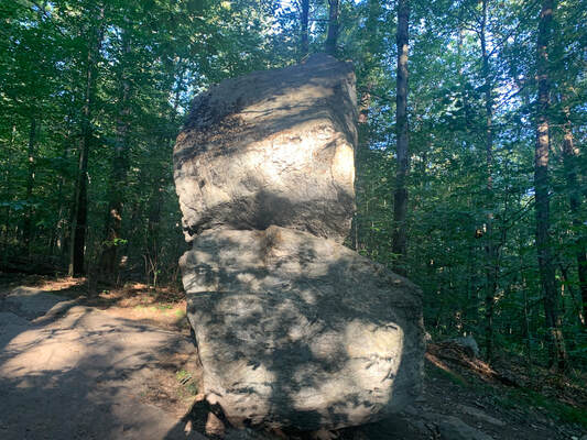 The less-photographed side of Balance Rock The less-photographed side of Balance Rock I don't really know where to start with this mountain. I have hiked it a number of times, sometimes with family and sometimes alone. This particular hike was a solo one on a fabulous fall day. I took some time at the top to work on a sermon before hiking back down to have coffee with a friend and colleague who lives and serves nearby. Wachusett is a monadnock, which is to say it "standeth alone without society" in Thoreau's words. Monadnocks rise up as a single hill in an otherwise lower landscape. There are a number of these in the area. Two of which--Watatic and Monadnock, itself--will be written up soon. This means that--much like the ridges of the Pioneer Valley--they have an unobstructed view in spite of the relative shortness of their peaks. My trip was about 4ish miles (give or take a mile). I started at Balance Rock Trail (because I am sucker for big rocks) and headed up Old Indian to Semuhenna to West Side Trail back to Old Indian Trail to the top. After exploring a bit, I settled on to the observation tower to do some work and to eavesdrop on a group of birdwatchers who were cataloguing raptors. My way down was even more of a ramble. Be sure to have a map with you. There are a bunch of trails leading to different locations and trailheads. Honestly it wasn't my favorite trail up. That would probably be Harrington/Mid-State Trail. However it worked for the day. 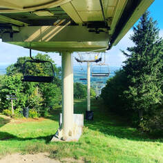 The one thing that is worth noting is that Wachusett is a ski mountain. In this case that means that there are many great views that would not otherwise be possible, thanks to ski trail clearings. On the other hand...it is not as remote or wild as Thoreau's time. It is an extremely accessible place, with both the good and the bad that go with that. Unlike even many ski mountains, it has a parking lot at the top. It can be a bit jarring walking off a secluded trail and encountering a scrum of humanity and their cars. This is still Henry's "Watchtower of Massachusetts" but now...it actually has a tower on it. I suggest weekdays in the morning. Then there are fewer people. That said, I do love this mountain. The walk up and down is always worthwhile. Both the views and the foliage are worth pausing and examining. Fall is best, but spring is nice too. Summer and winter can be a bit chaotic, but other people experiencing and loving nature isn't the worst thing, right? Update: I have been up Wachusett since I posted this and--in April of 2023--I made a short video of a slightly different hike from the one described here. I ended up on the same peak...but it was quite a bit longer. Here it is! Dear Folks, I am in the process of catching people up with some early hikes and other encounters with nature that I thought people might find interesting as part of a "How It Began" (HIB) series. Mostly this will describe specific hikes and perhaps some lessons learned along the way...if there are any. They are meant to be short and, perhaps helpful in some way to other hikers or fellow-travelers. I will post the dates of when I hiked a specific mountain since the ones in this series are NOT posted at or near the date hiked. SEPTEMBER 18, 2021 Not every hike is in New Hampshire, right? Another place I like to go is the Pioneer Valley in Central Massachusetts. The drive is easier and shorter, which is good. Also--while the mountains are not tall-- since the valley is so low and flat, the views they provide are spectacular...most of the time. Our first excursion was the Seven Sisters range between Bare mountain and Mount Holyoke. The name "Seven Sisters" is in honor of a group of historically women's colleges that were conceived as being a female counterweight to the ivy league. Most of them remain women's colleges today. However Radcliff College merged with Harvard and Vassar College (the alma mater of one of my sons) became co-educational. Two of the sisters (Mount Holyoke College and Smith College) are in the Pioneer Valley and--as you may have gathered by the shared name between college and mountain--this trail has something of a special significance to those communities. I will say this, the low elevation fooled us. It is actually a pretty challenging trail. This was particularly true in our case as we hiked it both ways, treating it as an out-and-and back to Mount Holyoke. It is 5 miles one way and, although they are short, there are about 10 distinct peaks (not 7). So double those numbers and you get a sense of what we did.  We were going up or down constantly. While we have since learned that many of the trails in this area have fairly constant views, this trail was more closed in. My back hurt. I was dehydrated and filled with a good dose of despair. I am glad my wife didn't leave me. I was awful. Strangely we weren't even the only people who misjudged. Every 5th person we saw was in some state of despair as well. It kinda perked me up a bit, actually.... Fortunately the visitors center at Mt. Holyoke was open so we could refill our water bottles for the way back. Also, the view from the porch at the center was great and made the trip worthwhile. On our way back, knowing what we were up against, we slowed down quite a bit and managed to get back in fairly good order. I learned a few things about hiking on this trip. I learned to check the map and be honest about my abilities. I learned you can never have too much water. I also learned to enjoy what I can when I can. I also learned about the area and the cool natural features it offers. The views we did get were great. Later hikes in this area went well...including some of my favorite hikes of the year. So there will be more from the Pioneer Valley. However, I do suggest leaving a car at the other end of this one... May 2, 2022 Today's Sabbath Hike was on the Welch-Dickey Loop. In spite of being two peaks (Welch and Dickey) it counts as one hike for the "52 WAV" list. This is my 7th so far on the list. The trail is roughly 4.4 miles but one should expect to get a bit lost going up Welch thanks to the large amount of exposed rock ledging where the blazes (yellow) have worn off. There are a number of false trails on Welch where people thought they were in the right place, realized they weren't...and drift to the correct location. My one big suggestion comes from my experience with those ledges. Some of them are steep and could be treacherous in less-than-ideal conditions. Definitely go up Welch and down Dickey so that you are working against gravity on the worst bits. That said, be sure to pause a bunch and look behind. The views were constant. I had a beautiful day for the walk. The threat of rain did not manifest until my drive home. I did--as you might have guessed--get lost a bit at various times on the open rock, but a combination of the map, the All-Trails app, and just keeping my head up pretty much did the trick. The first stop of import is an overlook on the way up Welch. Right before the view was a kiosk with a sign warning people (and their dogs) to beware the "crevice communities" living on the rock shelves. According to the sign "Crevice Communities are small pockets of vegetation that are uniquely adapted to thrive on the harsh conditions of rocky terrain on exposed mountain summits. They find footing in the thin soil in the crevices and depressions protected from the strong winds." The overlook had a fairly unique set of these communities so disturbing the vegetation is not a great idea. 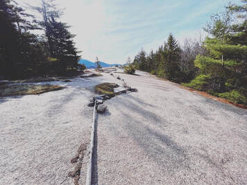 In addition they put a number of logs around key areas. I respected them, of course, and took my time checking out the tenacious plots on the other side of the symbolic barrier. It was certainly a case of life finding a way. It was also a good reminder of our own obligations to live close to nature and understand our relationship with it. I am not entirely sure we learn that in the cities or suburbs where most people live. There may be a class from time to time. However, the way we move across the landscape and order our lives shows that we--influenced by our culture--believe nature is something to be managed or manipulated for our immediate benefit. The simple act of placing a log around a tiny ecosystem indicating to passersby that "this is not for you" may be the beginning of deeper understanding for some people. Of course, it may also just be ignored, right? Let's not be that guy. I have been thinking quite a bit lately about how we interact with our environment and, frankly, it is depressing. That said, being out in the relatively remote environment of the White Mountains on the off-season was pretty darn restorative. I took my time and I suggest you do, too. The first overlook opens up a phase of fairly challenging hiking and scrambling, first to Welch and then through a lovely ridge filled with spruce trees and then up Dickey Mountain. Dickey's views from the top are pretty nice, but a bit underwhelming after what has gone before. That said, there is more to come! The descent passes over more open rock and more awesome views. Finally--after a ledge walk--the trail dips back into the trees for the walk to the parking lot. Looking back from the ledge one can see the giant bowl that makes up the loop itself. 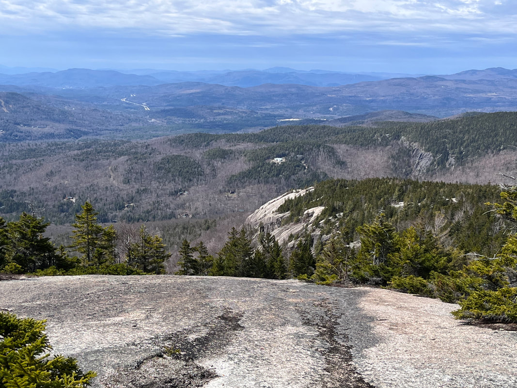 Here is a view looking down on that final ledge Here is a view looking down on that final ledge The hike was awesome and I did not do it justice with the pictures here. I suggest you go try it out yourself. I will say that it isn't an easy stroll. The mileage is much shorter than--say--Mount Shaw, but that that means the inclines are steeper and in this case do require a bit of gumption. My knees hurt a bit when I got home and I used poles! I would also note that this is a very popular hike in-season so spring is a great time to get out there so you can have it mostly to yourself. |
Adam Tierney-EliotI am a full-time pastor in a small, progressive church in Massachusetts. This blog is about the non-church things I do to find spiritual sustenance. Archives
June 2024
Categories
All
|
 RSS Feed