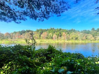
 A slight change of color on the Charles this late August. A slight change of color on the Charles this late August. A couple months ago I had to admit that my sabbatical is over. All the signs are there. I am not zipping off to go climb mountains. I am not writing for my own enjoyment. I am not in some expensive training. I haven't made a video in some time--though I did experiment with Tik-Tok and might go back...I guess. Mostly it is work now. Church work is good work, of course, and I love being a pastor. Still...my energy is going into that work instead of where I have put it for discreet blocks of my time over the past year. Now it is going into programs and preaching prep. It is going into integrating what I have learned about myself and about the ministry. Honestly the spare time that I could use for writing is spent staring out the window or watching TV. My brain is full. It needs time to digest. Still, things did happen over the summer. There was a great deal of hiking in July. It was carefully scheduled and arranged between floods and rain. Some of the hikes were epic and grand. Others were pedestrian and brief...but better than being indoors. Allison finished her NH 48 4,000 footers in July...and I have only one left. I will say that I didn't do much filming on those hikes. Again, my brain is full enough and I just wanted to experience them. I didn't even really take many pictures.  The house we rented in MI along with a random roommate, a baby boy (now and adult) and a husky (now dearly missed). The house we rented in MI along with a random roommate, a baby boy (now and adult) and a husky (now dearly missed). August--thanks to rain, work, and family commitments--did not center around the trail. We did take a road trip, though. We went back out to the Midwest where we moved after college so that I could go to seminary. The seminary was in Chicago, where I got my Master of Divinity and later my Doctor of Ministry degrees. It is also where Al decided to become a social worker. That isn't where we went on this trip. We went to Detroit and its environs, where I interned long ago. The reason was to participate in my friend Shane Montoya's installation at the Congregational Church of Birmingham. The area has changed over the last 20 years, for good and for ill. It was, however, wonderful to see friends and to inhabit old haunts where we once belonged a lifetime ago. In between we hung out with my farthest flung brother and sister-in-law with stops in State College PA both heading out and heading back. Then to Newport and New Bedford to see our eldest who lives and farms on the south coast. Life does, indeed go on.  The shed. The shed. Now we are back. I am getting back to church and preparing for the big fall opening as I have for two decades at Eliot Church and half a decade elsewhere before that. However, it is hitting differently this time around. I have become a creature of habit. I hit the gym more than I did before. I still get out on walks whenever I can. My garden is the best it has ever been. Every day there is a project. I harvest, plant, and re-pot frequently. Occasionally I mend things. This is new. I have never been a handy person. Now I sometimes repair, re-string and play cheap instruments at the shed table where I take care of garden needs. The church has a great deal to figure out. I do too. Not the least of these "figuring" has to do with this Sabbath Walks blog. I do not know what it will become. I have many potential posts, though...if I can find the time. Some are about hiking. Some about the garden. Some are about the spiritual life. Some about folk music. I guess we shall see won't we? I have to do some emptying first.
0 Comments
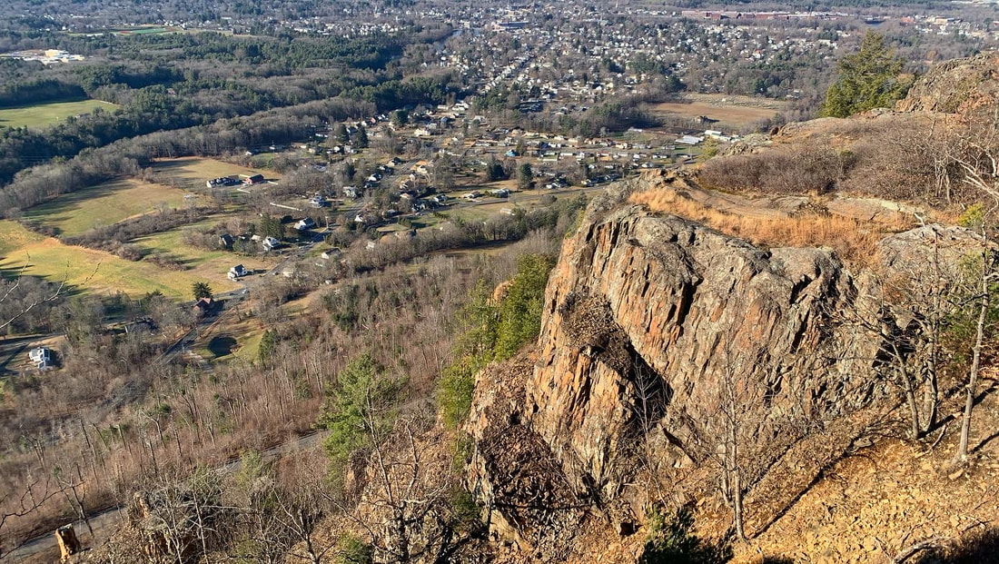
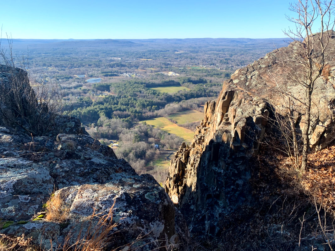
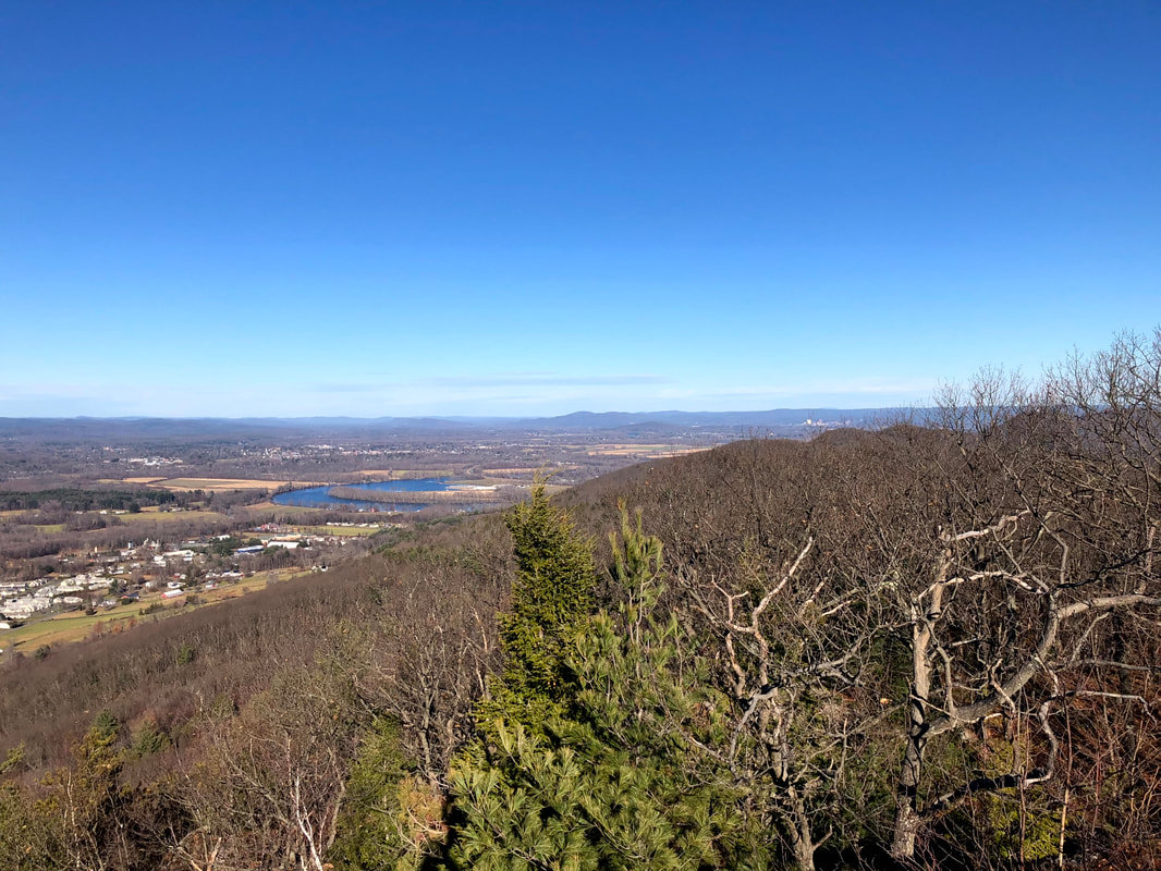
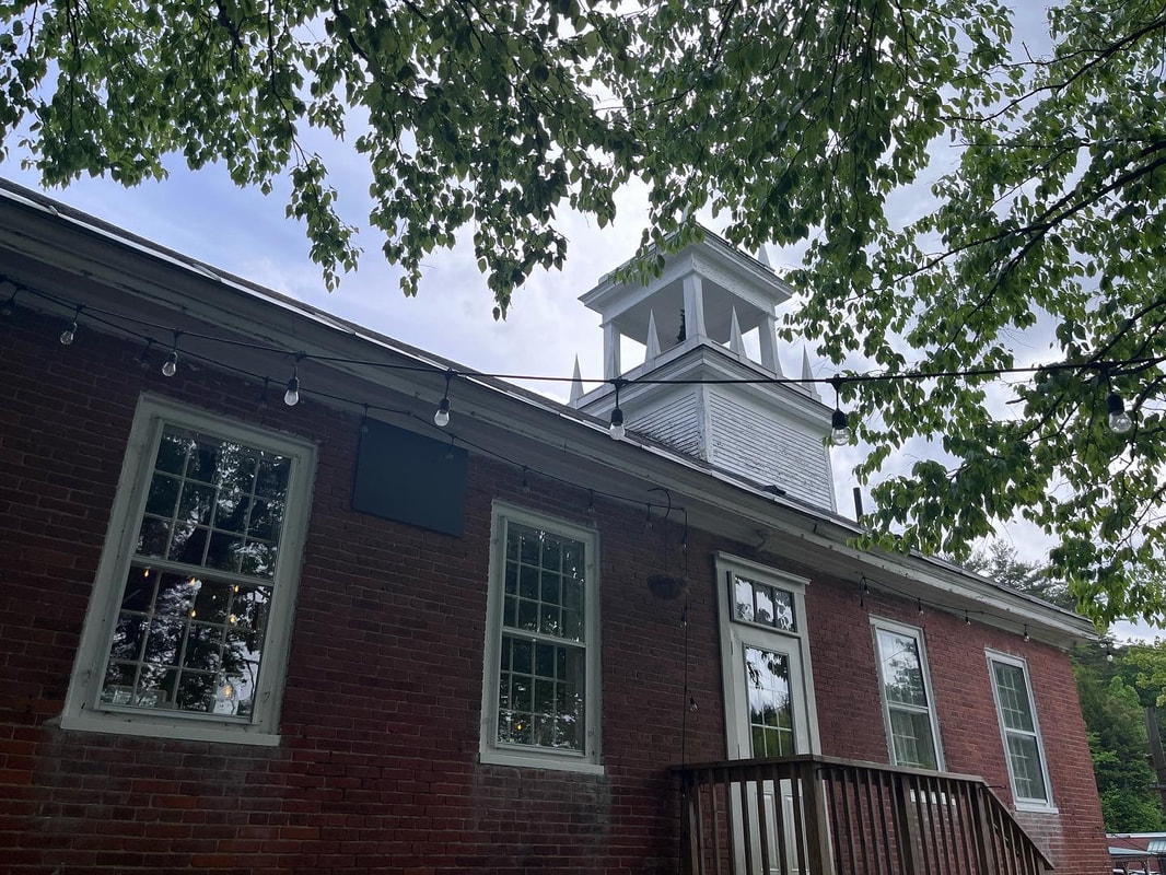
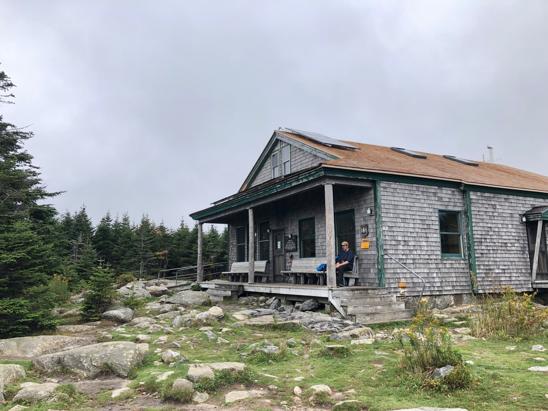
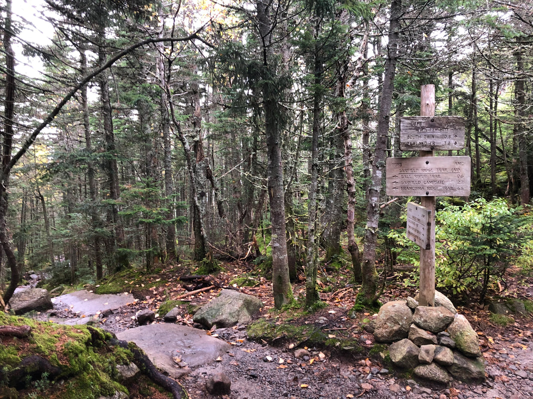
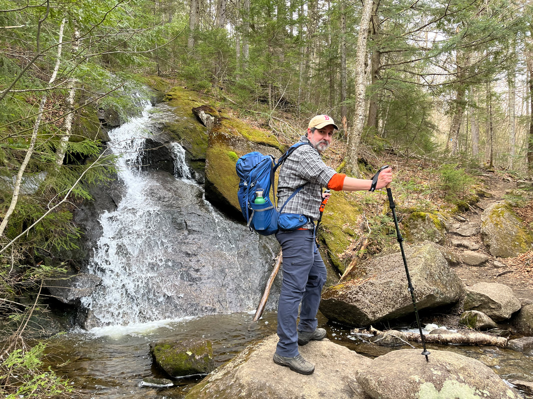
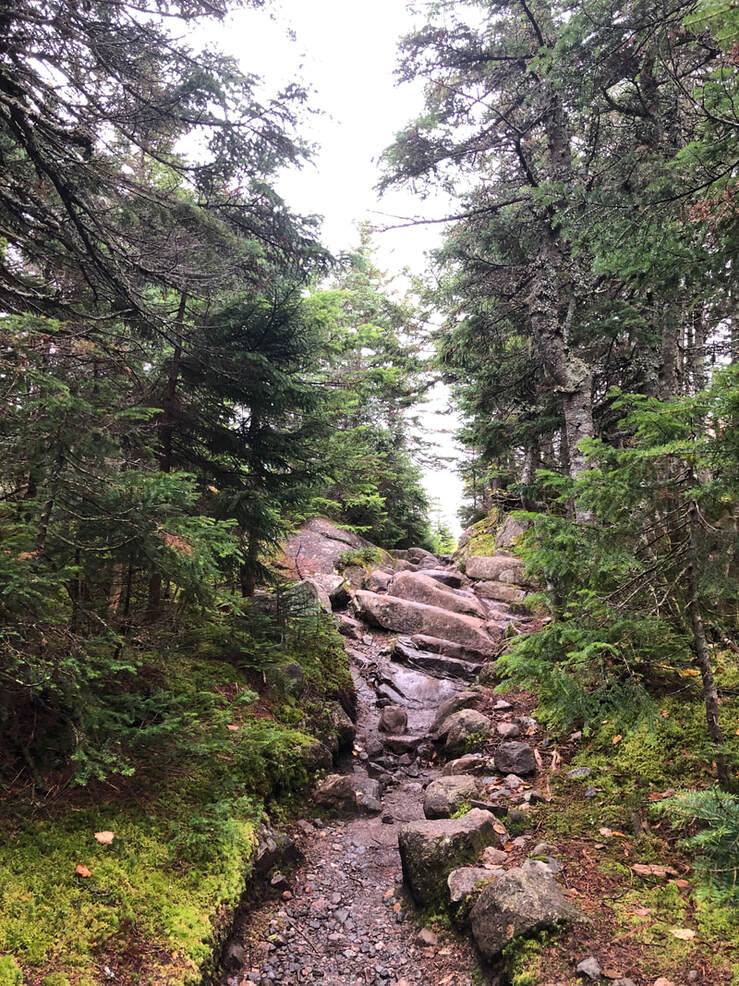
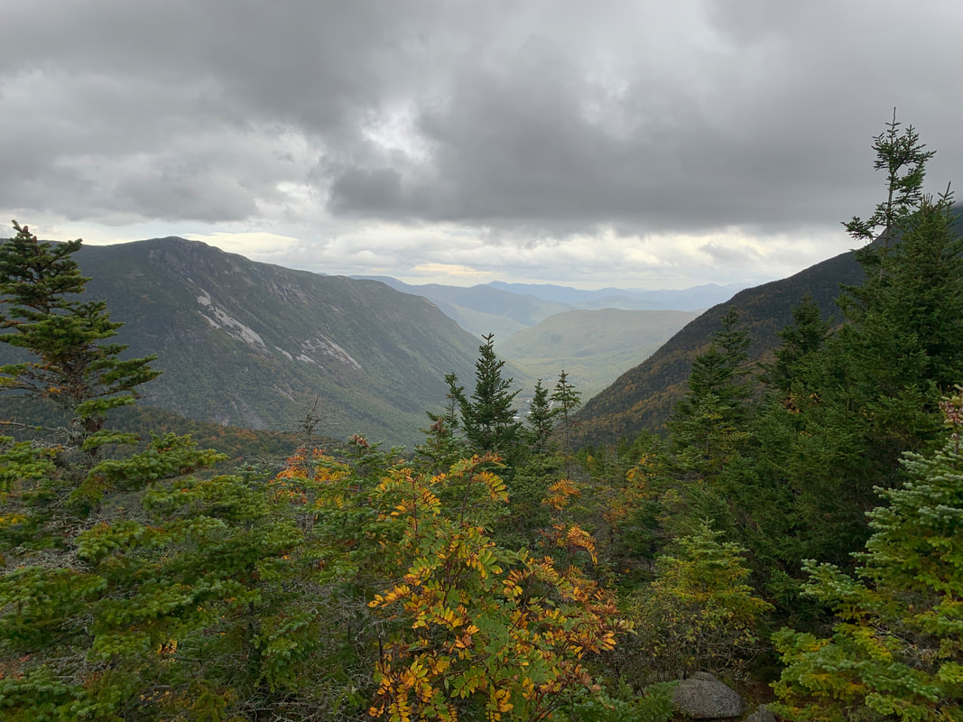
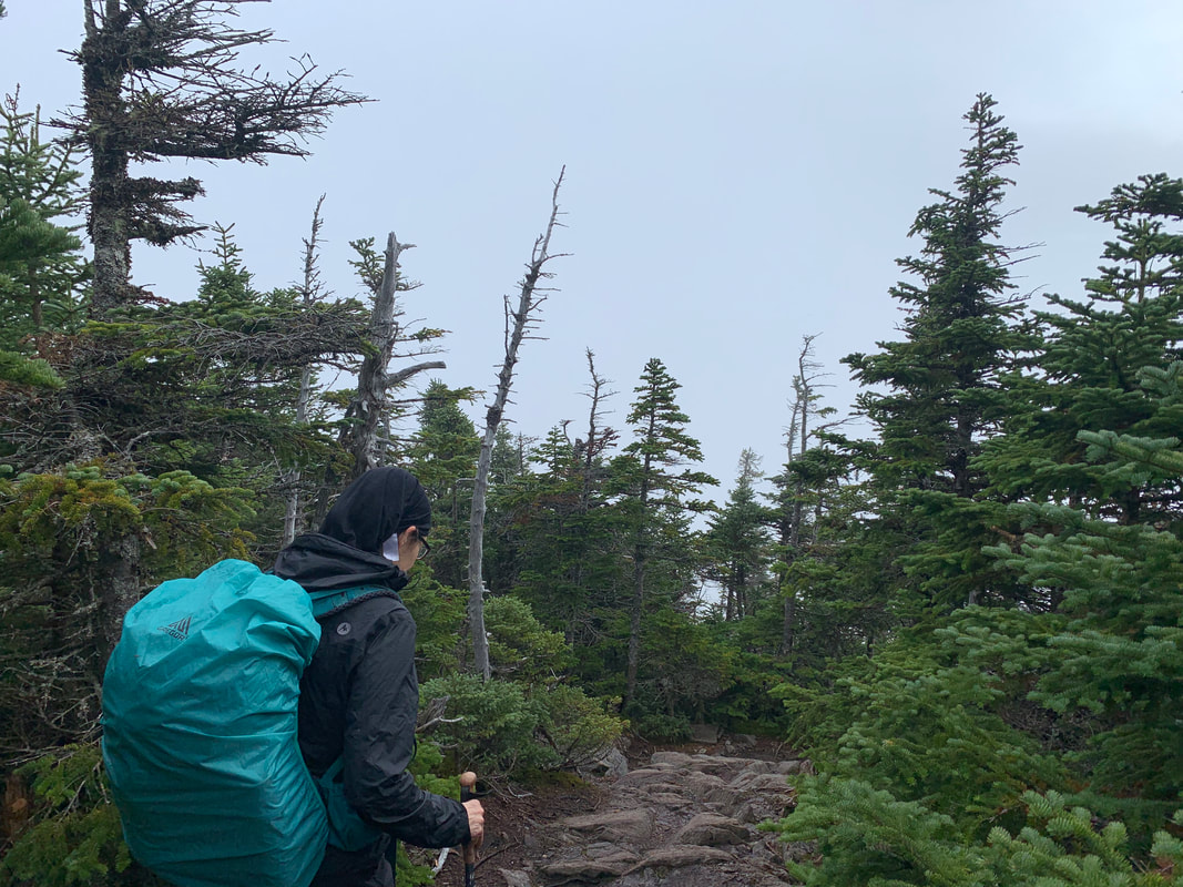
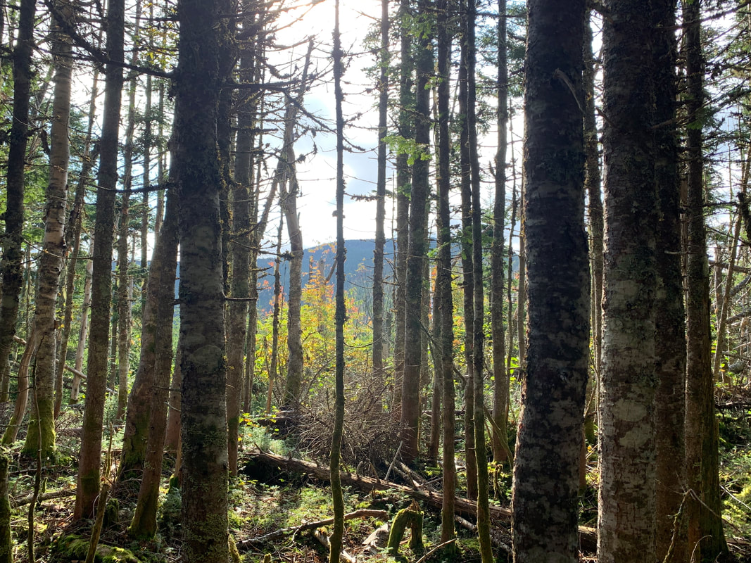
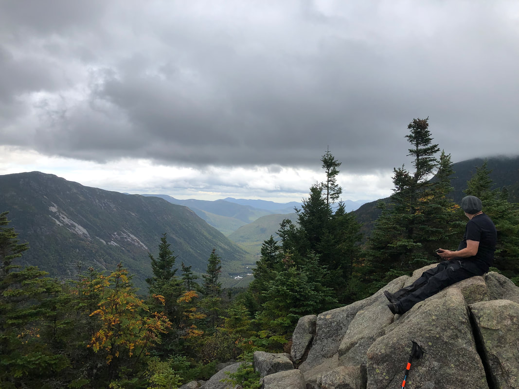
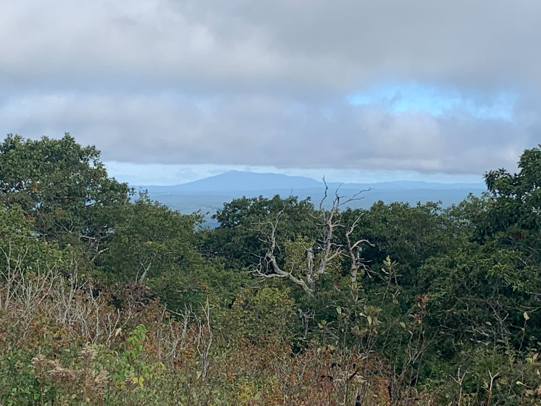
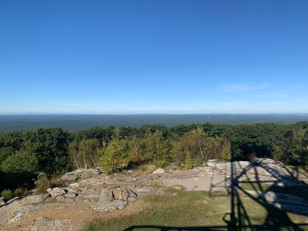
Dear Folks, I am in the process of catching people up with some early hikes and other encounters with nature that I thought people might find interesting as part of a "How It Began" (HIB) series. Mostly this will describe specific hikes and perhaps some lessons learned along the way...if there are any. They are meant to be short and, perhaps helpful in some way to other hikers or fellow-travelers. I will post the dates of when I hiked a specific mountain since the ones in this series are NOT posted at or near the date I actually hiked them. To add further confusion, I am not doing them in order! Here is a post about a winter hike. We did so many and have posted so few... 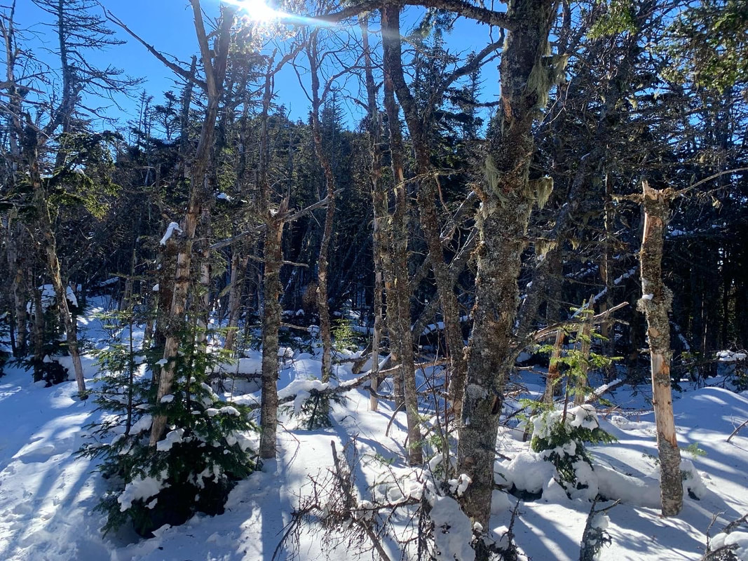 Hiked On: January 16, 2022 In the back of my mind during this whole hike was the idea that I might have done something very stupid. It was 15 degrees below zero at the trailhead when we started up Mount Liberty. The socials that we follow were filled with dire warnings about climbing on that day. Mount Liberty is 4,459 feet tall. The out-and-back we had selected was a little over 7 miles, which means it was steep. Other than the temperature (and the abundant snow and ice) this wasn't our hardest climb. The snow and ice do make a difference, though. The freezing temps make a difference too. Our packs were heavy with snow shoes, spikes, emergency equipment and layers. Still, there we were at 7am ready to go. So, again, I couldn't help but think I made a mistake and should have done something else with my day. 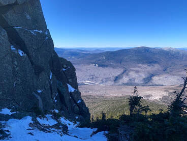 As a hike, it is fairly straightforward. It starts on a multi-use trail that we had been on before as there are a number of other climbs--for us winter climbs--that can be reached from that path as well. Then, we got a long period of relative flat before climbing...and climbing steeply all the way to the top. While on that flattish part, I started to have temperature regulation problems. As anyone who has spent time outdoors in the cold can tell you, there are moments when one's internal thermostat goes crazy. If you don't figure it out then hypothermia will set in. It took me a while to figure out what to do and we gave serious thought to turning back. Finally--after experimentation--I realized that I was running too hot for the amount of clothing I was wearing. This was the first lesson. I recalled going down Mount Willard a couple weeks before and witnessing a number of children on their way up desperately trying the shed layers while their parents just as desperately tried to make them keep the layers on. The kids were crying loudly, steam rising up out of their jackets. I remember thinking to myself that the kids needed to cool down to warm up--you don't have to wear all your layers all the time--and I realized I was doing the same thing. My concern over the temps had caused me to overdress for climbing. I was being just like those parents re-zipping jackets and cramming hats back on to sweaty heads. Since my parents were nowhere nearby I shed some layers and after a while things leveled out. I kept the hat, though, a hunter-orange number, and my gloves. Extremities are the first to go, my friends. Still, despair--my constant companion--was a problem. I have this issue below the tree line, particularly in winter. The trail, you see, just goes on and on and...I hate snow. The walk was slow and the struggle was real. We took many rests but the rests weren't that satisfying either. After all, I was cold. Finally we broke out onto a ridge and while there was still plenty of up to go, at least I could see out and around me to the winter landscape. Also I could see where I was going. Liberty is famous for its gigantic rock near the peak. We knew to point ourselves toward it and keep on keeping on. Also, the sun was out and that exposure warmed us up a bit after the shady trails below. As I have experienced in all seasons, a good ridge lifts the spirits immensely. 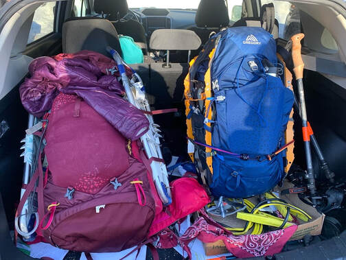 We finally broke out on the top and could see for miles all the way around. A small group had gathered there. Some were people we had been walking adjacent to for hours. Others had come over from Mount Flume, which we had done before the snow. About a third of them were carrying small sleds. I had done a bit of butt-sliding by this point but I had never imagined bringing a sled and treating a 4,000 footer as a personal sledding hill. It looked like fun. Butt-sliding is somewhat controversial in the Whites. Some love it. Some hate to hike down the shear track that they leave. I am a moderate on the issue. It is pretty convenient, though, and sometimes necessary of there have been a lot of sledders before you. We slid down a good chunk of this mountain ourselves using our snow pants, but I have to say...we never caught up to the actual sledders. In the end this was an important hike for me. It started rough and got dark (emotionally not meteorologically) a few times. In the end, though, I made it. I learned I could do something like this. I also learned that when people start saying "stay home unless you know what you are doing" sometimes at least...I do know what I am doing. Of course I have modified a number of hikes since because I knew what I was doing and didn't want to do a thing. After this hike, though, I learned to trust my judgement a bit more. I remembered that I had the authority to adapt to what my body was telling me. I also learned that even though I do not like snow...there are reasons to be outdoors in January. Dear Folks, I am in the process of catching people up with some early hikes and other encounters with nature that I thought people might find interesting as part of a "How It Began" (HIB) series. Mostly this will describe specific hikes and perhaps some lessons learned along the way...if there are any. They are meant to be short and, perhaps helpful in some way to other hikers or fellow-travelers. I will post the dates of when I hiked a specific mountain since the ones in this series are NOT posted at or near the date I actually hiked them. 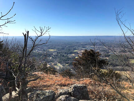 DECEMBER 14, 2021 Sometimes there are good things on even the least promising of days. This was a busy day for me. Holiday prep was in full swing. We had family things and church business going on. My post-surgery back had taken a turn in the wrong direction. There were other tragedies--not my story to share and therefore not discussed here--that occurred even as we took this walk. It is hard sometimes to separate all that from the trip up to Mount Tom by way of the Mount Tom Ledges, but I will. Somehow in the midst of all of the mess of life, this hike stands out as one of the best. Now, some of you may recall that the name "Mt. Tom" has already come up in my post about the Tom, Field, Willey, Avalon post about a loop over three 4,000 footers and one slightly shorter (and super-gorgeous) mountain in New Hampshire. This is not the same Mountain. Apparently "Tom" is an evocative name when it comes to these sorts of things. This hike occurs back in the Pioneer Valley, my old friend. It is yet another rocky ridge surrounded by flat plains enabling stunning views wherever the trees part, or are low enough. This hike was about seven miles out and back and featured around 1,200 feet of elevation. I really did not feel well. I was tired and distracted by a million things. We almost stopped at the first overlook (which was fabulous) but then--after a quick rest--we continued forward at first tentatively, then with purpose. I had to stop occasionally to answer emails and check messages which is something I never do on the trail. This really was a different time, though, so I made a couple exceptions. However, perhaps the chaos outside the moment made the time on the ledges that more special. 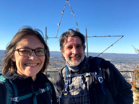 After that first overlook the landscape became rocky and rolling with constantly changing views into the farmland below. We covered a couple of smaller peaks and then moved along toward Mount Tom, itself. One of the big differences in hiking in Massachusetts is that there is much more evidence of humanity. With each view we could see houses and sometimes whole towns stretched out below us. We also passed cell towers, power lines, and windmills. There were decaying and somewhat-unidentifiable pieces of metal and glass sticking out from the bushes. There were service roads as well. Finally, on the very top of Tom there were a few industrial-looking buildings obviously there to maintain the radio towers that dominate the peak. Also on the peak was a massive metal and wood star with Christmas lights on it. It turns out that this star is a local tradition in Easthampton. I love Christmas lights. Somehow all this evidence of humanity worked. There wasn't any "litter" to speak of and I loved the industrial elements. They seemed to go with the gray and hardy rock that was everywhere. Yes there was evidence of people communicating, celebrating, and making the mountain a centerpiece of their lives. That--at least on this hike--made all the sense in the world. After a while we turned back around and experienced all the views again. I am tempted to hike this in every season eventually. I can only imagine that it has plenty more to give. Dear Folks, I am in the process of catching people up with some early hikes and other encounters with nature that I thought people might find interesting as part of a "How It Began" (HIB) series. Mostly this will describe specific hikes and perhaps some lessons learned along the way...if there are any. They are meant to be short and, perhaps helpful in some way to other hikers or fellow-travelers. I will post the dates of when I hiked a specific mountain since the ones in this series are NOT posted at or near the date I actually hiked them. OCTOBER 8, 2021 History nerds will remember Shays' Rebellion, when a band of veterans from the Continental Army rose up to resist the entrenched interests of eastern Massachusetts and set off a series of events that ultimately culminated in the writing and ratification of the Constitution. If you don't remember, check it out. It was one of those iconic turning points in American history but in many schools you only get a day to digest the whole Articles of Confederation-to-US Constitution move and Daniel Shays gets merely a mention. These days folks with just enough information will try to shoehorn this second revolution into the mythology of today's "red v. blue" divide. It is a futile endeavor. They were protesting a number of issues, like not getting paid and being taxed without adequate representation. Underlying their oppression was the economic desires of the landed interests in Boston. The story is a Rorschach test for activists. You can make of it what you will. My suggestion is to just take it for what it is, on its own merits and in its own context. It is a moment in time, and a romantic one in its own way. The actors in their story are the closest we get to the legends of Robin Hood or Rob Roy MacGregor. I bring up this historical tidbit because you can check out Shays' old stomping grounds without too much difficulty. The Pioneer Valley--where the rebels were primarily from--creates a defensive bowl of ridges and rocks where Shays and Co. could hide out when the heat was on. I already mentioned the Seven Sisters hike. There are more to come, but this post is about Norwottuck, the site of their final stand. 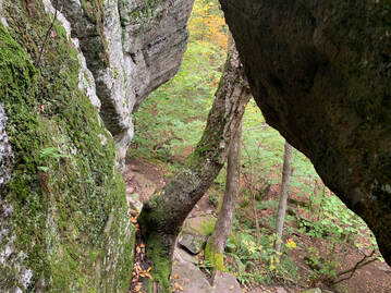 The view from one of the hike's many fun rocky challenges. This one enters into the theoretical final encampment of Shays' army. The view from one of the hike's many fun rocky challenges. This one enters into the theoretical final encampment of Shays' army. The hike, itself, isn't that long. Also, the elevation isn't very high. You don't have to go too far up to get a commanding view when the land around you is flat as a pancake. From the parking lot I head into the woods and then passed an active quarry to my right. After a bit of confusion, I managed to locate the trail I was looking for and found the footing easy for a while. Then it became ledgey and more difficult. The total walk was four miles round trip. It included the sort of rolling hills that I now know as a key part of hikes in the region. There are some steep parts up toward the peak and then down the other side. After a short scramble up the ledge to the top. I found numerous perches from which one could look out over the valley. That tacked on some time as I sampled many of them. I was working on a sermon, after all, and could use the inspiration. Even though they were farmers by trade, Shays' army had already fought one revolution. They knew how to choose the terrain. In addition to those many lookouts, the land is rough and rocky, with many places to hide and take cover. I had no trouble imagining a musket or two peaking around the corner. It would be an unsettling place to try to attack if you knew it was defended by locals. Dropping down from the top I eventually hit a flat area known as the "Horse Caves." Legend has it that Shays hid horses in holes in the cliff. If this is the case they must have very tiny horses! I would say there was room for maybe three goats. Still, it was a very cool spot to be. The flat area seemed like a likely location for their final encampment and it wasn't hard to imagine them there, waiting to face the militia from Boston. In the end, though, they surrendered. The commanding officer of the Boston militia claimed in his reports to have surprised them and captured everyone involved. Strangely, Shays was nowhere to be found. Nor were the other officers whose capture would have resulted in their trial and death. My guess is that neither side had much interest in killing and--perhaps after some negotiation--the leaders were allowed to slip away. A little research will reveal what happened to everybody from that point on. It did, in fact, prompt some reading for me. The hike was relatively easy, but it is one of my favorites. The story, the views, and the general vibe of the place got me going. I have tried to go back but it is also very popular with other folks and on the weekends it is hard to find a parking space. Dear Folks, I am in the process of catching people up with some early hikes and other encounters with nature that I thought people might find interesting as part of a "How It Began" (HIB) series. Mostly this will describe specific hikes and perhaps some lessons learned along the way...if there are any. They are meant to be short and, perhaps helpful in some way to other hikers or fellow-travelers. I will post the dates of when I hiked a specific mountain since the ones in this series are NOT posted at or near the date I actually hiked them. OCTOBER 4, 2021 This trip I completed with my brother Dan. Dan is the real hiker in the family. Many years ago after they graduated from high school, Dan and his twin brother (also my brother but we aren't twins) Matt decided to hike the Appalachian Trail north-to-south. Some of my own most ambitious hikes came from tagging along after them on various practice runs. I am a few years older than they are, however, and that window for a months-long adventure had closed for me. Anyway, they got pretty far over some of the hardest parts, but eventually they took a break and joined me working in the retail hub of Freeport, ME. Good times. Dan has kept on picking away at the AT, though. More recently than this hike, he actually joined my son on the AT for ten days going south-to-north through the Great Smoky Mountains. This particular day was wet and cold when we started. This is not an unusual state of being for New Hampshire in October and we planned accordingly. Our goal was to climb up Mount Osceola and over the ridge to East Osceola and then back, crossing Osceola again upon our return. We got a slightly later than usual start because we misjudged the time to get there. However, once we got underway things went smoothly for a while. On the way up there weren't any stunning views, nor were there any at the top. Fog will do that to you. Still, the foliage was wonderful and the company was fine. 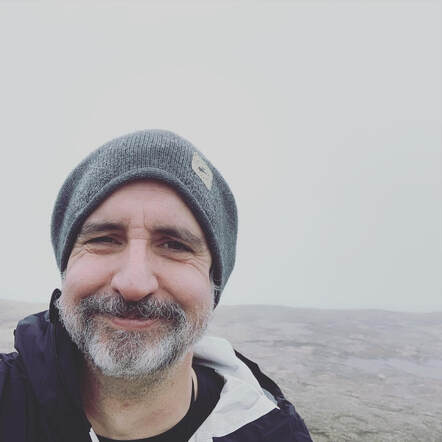 Actually, it was more than fine. Thanks to the plague most of our interactions for the year had been over zoom, which is not ideal. Being outdoors meant being able to interact like normal humans. A lot of the time was spent catching up. We talked about our families, kids, parents, siblings, and so forth so the time flew by. Another great perk of hiking with Dan is that he knows a huge amount about the outdoors. Dan is a wildlife biologist for NOAA and I appreciated the "enhanced video" aspect of having an expert with me. Since he also walks quite a bit faster, I also appreciated the fact that mushrooms and birds distract him. Most serious hikers--my wife and brother included--seem to think of hiking as an isolated activity. It is just the lone walker in the natural world. I am in that minority who thinks of it as social. You can identify the social types pretty easily out on the trail because--whether we are solo or not--we begin talking to strangers the moment they come into view and then continue talking until well after we pass them. We take seriously the idea of a "hiking community" but...we also make a bunch of noise with our mouths. Thankfully both Dan and Al tolerate this behavior in me. Maybe that is why it is so great to have them. The first socked-in peak over, we proceeded to cross to East Osceola. This ridge is a bit of a challenge. It is hiked less often than the rest because there isn't actually much of a view off of East and there is the issue of a fairly substantial scramble called the Chimney which one must first go down and go up on the return trip. Theoretically there is an easier way around it...but I didn't notice.  We continued to East and then headed back. It was still wet and cold but the mushrooms were off the handle and we were enjoying the challenge. The Chimney was actually a bit easier--straight up--on the way back. I mentioned this same phenomenon on the Garfield Ridge. Climbing is just easier than descending when it comes to cliffs. When we emerged onto Osceola for the second time the clouds finally parted and we got one of those classic White Mountain views. I would say it was worth the trip but the trip had been pretty cool up to that point. Still, it was nice to see. On the way home I wiped out on some wet ledge rock, tangled myself in a tree, and broke my hiking pole. At this point I was still not entirely rehabilitated from my back surgery so I opted for the spectacular spill instead of twisting something to maintain my balance. Dan sorted me out. That is another good reason to hike with somebody. I felt the fall for a while though. In the end the trip was 8.5 miles and about 3,200 feet of elevation. It was quite a day. 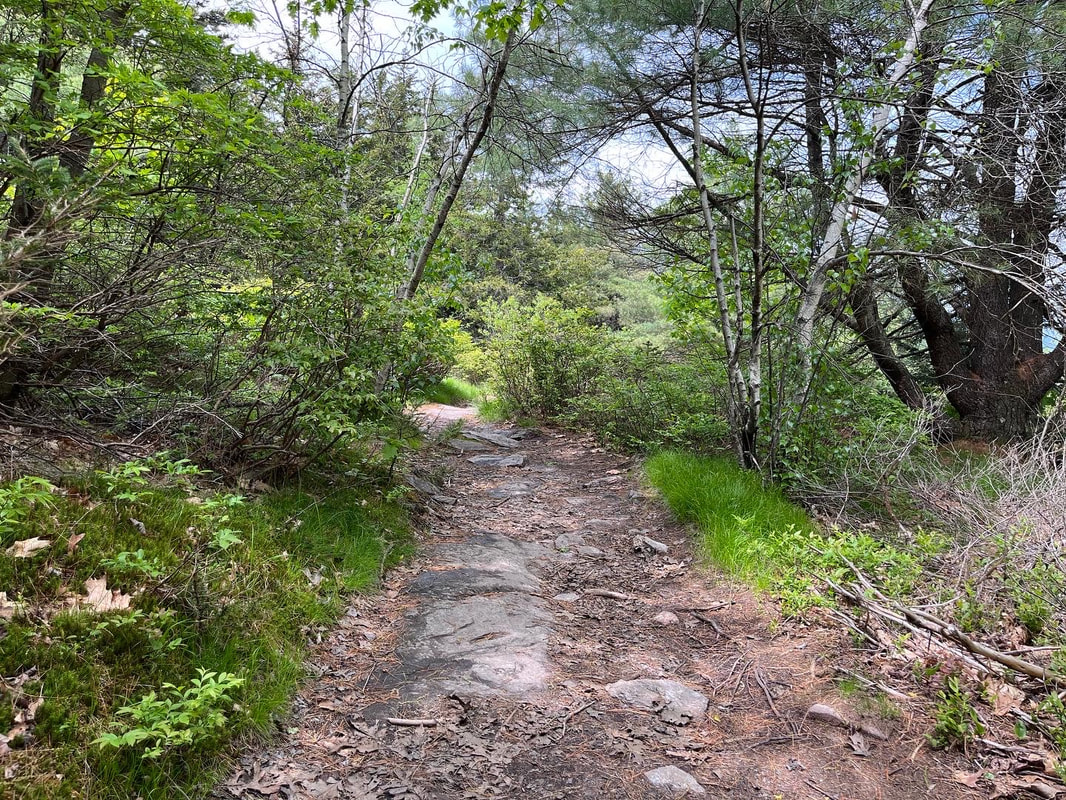 Al and I took a post-covid camp-and-hike yesterday. The goal was to test out some new equipment we got for eventual overnights and to get a little fresh air after surviving a little over a week as the coronavirus rolled through every member of our family. Though we are all fully-vaxxed we all got sick. I hate to think of what it would have been if we weren't vaccinated. We camped within our home county (MA Middlesex) at Pearl Hill State Park. We barreled in after work and were delighted by the tall, tall, trees and the relative quiet of our site. That night--after breaking a tent pole--we fell asleep to the sound of the wind in those massive trees. We will go there again, I think. It is relatively devoid of RV's as the lots are mostly set up for tenting. That said, many of the tent sites are pretty much right on top of each other. We were there on a low day. If you go during the weekend, take a good hard look at the map! The next day we slipped over the border and hit a couple of our favorite mountains. Set slightly apart from Mount Monadnock are two smaller...er...monadnocks; Pack Monadnock and North Pack Monadnock. We decided to take a out-and-back route from North Pack to Pack and back over North to the car. This started, incidentally, at the northern terminus of the Wapack trail, a 21.5ish mile trail that starts on Mt Watatic--the "Wa" in Wapack and one of my very faves--in Massachusetts. Here is what I have to say about this hike. Don't do it in your first few days out of Covid isolation! The trail elevation was, in the end, comparable to a 4,000 footer and the length--about 9 miles--was too. In addition, we were carrying heavier packs than usual to test out the packability of our new gear. Today we are both stumbling around a bit coughing... That said, it was a pretty good hike. The clouds and occasional rain kept us good and wet for the first two-thirds of the trip but as we stumped back for our second time up North Pack, the sun came up and the views were finally cleared. In this case I cannot blame the mountains for my difficulties. I blame myself for trying to do too much too soon. It is important to listen to your body sometimes. The foliage was excellent. We saw some flowering blueberry bushes, a number of lady-slippers, and a wide variety of ferns still un-scrolling for the summer. The company was excellent, too, and we ended our hike at a small brewery in the old Grand Army of the Republic building in Peterborough New Hampshire. The GAR was an interesting group. They knew that, of course, they would eventually pass on but they built and maintained some beautiful halls and spaces for their community. On Memorial Day weekend, it seemed to be a good place to be. We were going to camp one more night but with our general condition and some heavy weather coming it we took a pass, went home, and watched the Celtics lose on TV. 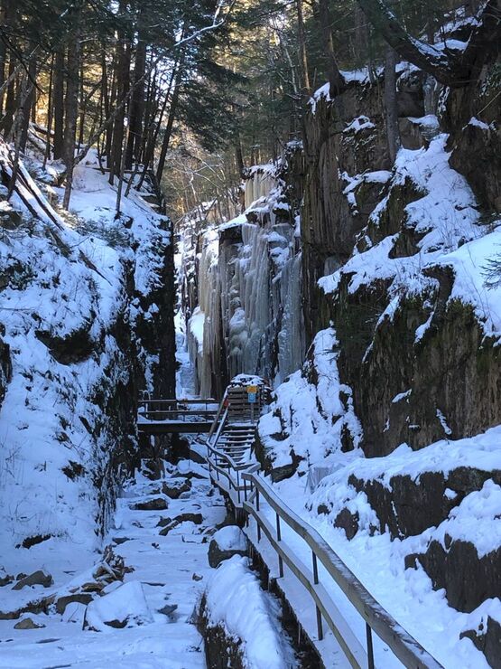 Flume Gorge in Winter Flume Gorge in Winter The experience reminded me to remind you--dear reader--that there are plenty of "non-list" hikes in NH worth doing. There are plenty of non-list hikes to do everywhere, but my MA hikes don't have a list other than my own and I will address those--like Watatic--in their own time. That said, in addition to the mountains on the Wapack Trail, here are some others I have enjoyed recently: Black Cap Mountain (and Cranmore): The top of Black Cap is the real draw on this short and relatively easy hike. We also hit "Mt Cranmore" which is really a lower spur of Black Cap and home to the Mt. Cranmore ski trails. Arethusa Falls: This is not a mountain but...it is a fantastic hike with a lovely waterfall at the end. It is, however, more of a hike than one might at first think. Eagle Mountain: There are probably a few mountains with the same name so I will be more specific. You access this trail from behind the Eagle Mountain Resort--a cool old hotel--in Jackson. It only take an hour or so to do but it is a fun hike if you have a short time window. The link is to the resort. You deserve it. Flume Gorge: We hiked this mid-winter so did not hike through the gorge. Instead we hiked above it and looked through. It was a fabulous hike with cool views. So there yah go! The next time you are in New Hampshire and don't want to spend your day bagging peaks but would like a cool view and a lovely walk, I recommend doing all or any of them. Just don't do it when you are sick. Dear Folks, I am in the process of catching people up with some early hikes and other encounters with nature that I thought people might find interesting as part of a "How It Began" (HIB) series. Mostly this will describe specific hikes and perhaps some lessons learned along the way...if there are any. They are meant to be short and, perhaps helpful in some way to other hikers or fellow-travelers. I will post the dates of when I hiked a specific mountain since the ones in this series are NOT posted at or near the date hiked. SEPTEMBER 28, 2021 As I sit here typing up this particular hike 8 months later, I am in the process of recovering from Covid and planning a return to backpacking--as opposed to day-hiking--which I haven't done in decades. I am finding the process of getting back on the trail to be a bit intimidating. I feel tired and out of shape. I am getting confused by pack weights and whether I can even move with something that heavy on my back. This hike keeps springing to mind. It is both encouraging and not. The first part--and the middle were I to be honest--remind me that these things can be miserable and exhausting. The last part, though, was very near the top of my favorite hikes of all time. Life is like that. We have peaks and valleys--literally sometimes--and we learn from them while also hoping that they drive us forward more than they hold us back. Deep right? That is what they pay me for... This hike was planned during the hike, itself. This is never a good idea or--at least--it comes with risks. We had planned an out-and-back route up Galehead. This 4,000 footer has its adherents as a solid hike with a reward--a cool AMC hut--at the end. For those who may not know, sprinkled about in hiking-land are a variety of lodges, "huts" and other cool support structures that make fun discoveries while you are out. When I was hiking the approach to the Appalachian Trail in Georgia I came across an entire eco-hotel! That, though, will be a different post. The Galehead Hut has bunk rooms and a small store for small hiker stuff (snacks, band-aids, puncture repair kits and the like). Also, they serve food...sort of. If you reserve a stay there, they feed you. If you don't and just swing by on your way to the top you can buy some leftover soup if there is any left. This is very cool and a key part of the tale. 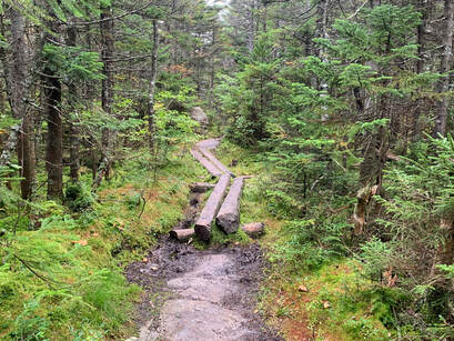 Generally--at that time in our hiking--it was just hard. At one point we met a guy who had made the same mistake in the opposite direction. He opened with a lament; "Why did I decide to take this trail so late in the day?" "Why did we?!" was our response. Then, when we inquired as to what the trail looked like behind him--and in front of us--he got a faraway look in his eyes. "The worst is yet to come for you...I am sorry," he told us. Then he turned his sweaty, mud covered face away to continue on to Galehead with a haunted look in his eyes. What we encountered shortly thereafter was a crazy cliff/waterfall that we had to scale with rocks rolling off our feet and nearly bonking the other as we scrambled forward. That said, I looked back at one point and admired the view. Then I looked down to where we had come. Sadly I ruled out taking a picture because I didn't want to fall. The stranger thought we would have the worst of it going up. I have no idea how he managed to get down. Finally? We made it to the top of Garfield around 4pm with 6ish miles to go. Needless to say we were well aware by this point that much of our hike down would be in the dark. However, we were content. Garfield's view is--full 360--spectacular. There was no reason to rush anymore with the damage done. We took our time with the view, dug out our headlamps, refueled, and started home.
In the end we had a dinner of gas station snacks and BK cheeseburgers because everywhere else was closed. If I had it to do over again, I probably wouldn't have dallied at Galehead. We started our hike pretty early but were moving slow thanks to the four peaks we summitted the day before. Soup is nice and all but not worth the amount of time we spent. I would take a closer look at the map, too. The whole day was over 16 miles. Honestly, though, I don't see climbing Galehead again. I will just take the easy way up Garfield. 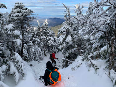 DECEMBER 4, 2021 and May 7, 2022 I will not lose, for even in defeat, there’s a valuable lesson learned, so it evens up for me. --Jay-Z So this is a story of failure and learning and later...success. I figured I would tell you that right up front. It took us two hikes to cover both of the Mount Kinsmans. They are almost always done together but...well... let's talk... On December 3, 2021, we went to party. At said party we decided to hike the Kinsmans (North and South) in New Hampshire the next day. It would be--for me and Al--our first "winter hike" and we were eager to try it out. Our friend Howard hiked with us as did Carly Simon (his lovely dog). I should say, for a first attempt at this level of complexity we did pretty well. These mountains are pretty tall, with North coming in at 4,293 feet and South at a slightly taller 4,358 feet. We chose the Mount Kinsman Trail instead of the more popular--and shorter--trails on the other side of the ridge. We usually favor lower inclines and accept the extra miles they bring. The trip was beautiful and the views were fabulous, including a spur to Bald Peak early in our climb. However, it was also pretty darned difficult and when we hit North K we were tired. OK...they were tired and I was super-tired. Also, we had gotten a late start and I don't think any of us were fancying the hours-long climb down in the dark. After a few moments of discussion on the approach to South we turned back. It was a depressing moment. In the end we hiked about 8 miles in the snow, bagged a peak, and congratulated ourselves on our accomplishment but...it still didn't feel quite right. It was not what we planned. 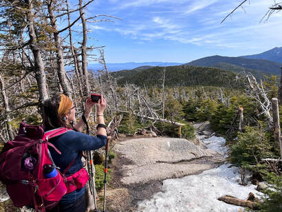 The one spring pic with ice. The one spring pic with ice. Fast forward to this past Saturday. We decided to attempt it once again. It was just me and Al this time and was our "Mother's Day Observed" celebration. Here is where I want to digress a bit. If this was some sort of morality tale or life lesson the easiest thing would be to hit the "try try again" button, take our bows, and move on. Yet that doesn't seem right, because that first hike was an important one. We learned--or I learned--a ton that made hiking in general (and therefore experiencing nature) easier and more enjoyable. After that December hike we did a few things. First, we made a rule to get plenty of sleep. No more parties the night before! Second, we took some shorter--but still quite challenging--winter hikes off the 52WAV list. Willard and Pemigewasset remain two of my favorites. This enabled us to figure out our gear and our winter pace. They also enabled me to appreciate the winter journey more than I did puffing up North K. Third, we made a decision to always start early. This is important. At our pace we really didn't have the time to get back before dark the first time. We could have hiked back in the dark. We weren't concerned about our abilities. We had hiked in the dark before. Still it would not have been pleasant and we do this because we enjoy it. Fourth and finally, I hit the gym and changed my diet a bit. Many hikers think of hiking as the way they exercise and it certainly is that for me. That said, There is a lot going on in my 51 year old vessel and if hiking is going to be more than exercise, I need to be caring for myself regularly. The Kinsmans taught me that too. At some point I will write about Willard and Pemigewasset, as well as three 4,000 footers we hiked in winter; Liberty, North Hancock, and South Hancock. There were other hikes as well where the snow wasn't as much of a factor. That is enough description of them for now. It's just a teaser for future posts. What is important to know is that first attempt made me--and us--change some things for the better. 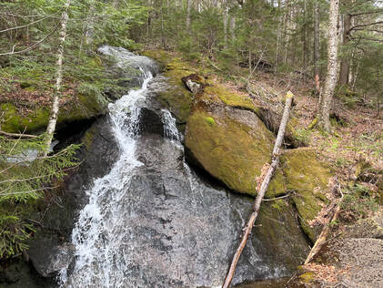 Anyway, that was the context for our return to the Kinsmans. We returned in better shape with a better understanding of what we were doing. The climb was mostly straightforward. We skipped Bald Peak, having already seen it and with a particular goal in mind. Then, as we headed up, we encountered...winter again. If you are hiking this in April or May, it is worth noting that, while you may not need your snowshoes, you still need your microspikes. Our pictures don't show it but after a while the trail was covered in a hard later of ice, which was more of a challenge than the snow. This slowed us down and created a different set of challenges. Al likes the snow. I like no snow ever. We both agreed that the ice below the tree line was worse. That said, we continued on over North Kinsman once again, then out to South Kinsman along the ridge and ultimately victory! I was glad we returned. Sure, existentially it was nice to get it done, but that ridge was lovely and worth experiencing on its own. the view from South--while not as breathtaking as the one from North--was pretty nice too. Of course we stopped at North on our way back to check it out one more time. There is something I will miss from the winter, though. Bad weather creates community. There are people I only see on the top of mountains as there is a loose group of hikers who do this regularly for fun. When we see fellow hiker we stop and talk even if we haven't met. We compare weather conditions and gear and where we are on the list. On Pemigewasset, for example, we had a lovely chat with a couple of young people about hiking and nature in general. If you were out that day you were pretty committed, after all, so there were plenty of overlapping interests. Over the winter and early spring this group has the mountains to ourselves and we know that the people we see are trail-nerds like us. We are likely in the same Facebook groups! However on this trip there were a bunch of normal people out. The regular hiker-sorts passed the time of day as usual and we took pictures of each other--I always hope my taking-portraits-of-strangers-on-mountains skills are up to snuff--but it was different. The muggles who were hiking were confused by the strangers trying to communicate. It was good they were getting out but the "list hikers" became "odd" people again. Next winter I will probably do more hiking even though I despise snow...I miss the people already. The whole trip was about 10.5 miles. The weather will only improve for a while. Neither hike was my favorite but it was worth doing and I am grateful for what it taught me.. Now on to the next one...whenever that will be. Dear Folks, I am in the process of catching people up with some early hikes and other encounters with nature that I thought people might find interesting as part of a "How It Began" (HIB) series. Mostly this will describe specific hikes and perhaps some lessons learned along the way...if there are any. They are meant to be short and, perhaps helpful in some way to other hikers or fellow-travelers. I will post the dates of when I hiked a specific mountain since the ones in this series are NOT posted at or near the date hiked.  SEPTEMBER 27, 2021 What a hike this was. We took a few days and stayed up north to get some hiking done. First up was the 10.2 mile loop of Tom, Field, and Willey--all 4,000 footers--and the slightly smaller Mount Avalon. We had a somewhat rainy and overcast day for it, but we had taken the time off and up we went. When I say "loop" I am being somewhat generous. The map looks like a lollipop that was dipped in fuzz. We chose Mount Tom first (off a spur from the Main trail). Then we hit Field for the first time. Then there was a longish hike to Willey, then back to Field as the fog closed us in and a return to the actual loop onto Avalon where, blessedly, we experienced one of the best views ever. Dear Folks, I am in the process of catching people up with some early hikes and other encounters with nature that I thought people might find interesting as part of a "How It Began" (HIB) series. Mostly this will describe specific hikes and perhaps some lessons learned along the way...if there are any. They are meant to be short and, perhaps helpful in some way to other hikers or fellow-travelers. I will post the dates of when I hiked a specific mountain since the ones in this series are NOT posted at or near the date hiked. 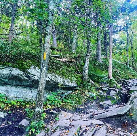 SEPTEMBER 21, 2021 But special I remember thee, Wachusett, who like me Standest alone without society. Thy far blue eye, A remnant of the sky, Seen through the clearing or the gorge, Or from the windows on the forge, Doth leaven all it passes by. Nothing is true, But stands 'tween me and you, Thou western pioneer, Who know'st not shame nor fear, By venturous spirit driven, Under the eaves of heaven, And can'st expand thee there, And breathe enough of air? Upholding heaven, holding down earth, Thy pastime from thy birth, Not steadied by the one, nor leaning on the other; May I approve myself thy worthy brother! from "A Walk to Wachusett" by Henry David Thoreau 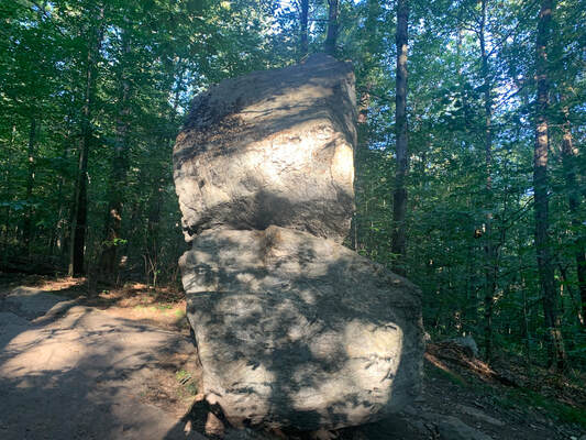 The less-photographed side of Balance Rock The less-photographed side of Balance Rock I don't really know where to start with this mountain. I have hiked it a number of times, sometimes with family and sometimes alone. This particular hike was a solo one on a fabulous fall day. I took some time at the top to work on a sermon before hiking back down to have coffee with a friend and colleague who lives and serves nearby. Wachusett is a monadnock, which is to say it "standeth alone without society" in Thoreau's words. Monadnocks rise up as a single hill in an otherwise lower landscape. There are a number of these in the area. Two of which--Watatic and Monadnock, itself--will be written up soon. This means that--much like the ridges of the Pioneer Valley--they have an unobstructed view in spite of the relative shortness of their peaks. My trip was about 4ish miles (give or take a mile). I started at Balance Rock Trail (because I am sucker for big rocks) and headed up Old Indian to Semuhenna to West Side Trail back to Old Indian Trail to the top. After exploring a bit, I settled on to the observation tower to do some work and to eavesdrop on a group of birdwatchers who were cataloguing raptors. My way down was even more of a ramble. Be sure to have a map with you. There are a bunch of trails leading to different locations and trailheads. Honestly it wasn't my favorite trail up. That would probably be Harrington/Mid-State Trail. However it worked for the day. 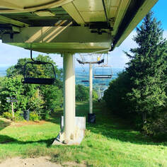 The one thing that is worth noting is that Wachusett is a ski mountain. In this case that means that there are many great views that would not otherwise be possible, thanks to ski trail clearings. On the other hand...it is not as remote or wild as Thoreau's time. It is an extremely accessible place, with both the good and the bad that go with that. Unlike even many ski mountains, it has a parking lot at the top. It can be a bit jarring walking off a secluded trail and encountering a scrum of humanity and their cars. This is still Henry's "Watchtower of Massachusetts" but now...it actually has a tower on it. I suggest weekdays in the morning. Then there are fewer people. That said, I do love this mountain. The walk up and down is always worthwhile. Both the views and the foliage are worth pausing and examining. Fall is best, but spring is nice too. Summer and winter can be a bit chaotic, but other people experiencing and loving nature isn't the worst thing, right? Update: I have been up Wachusett since I posted this and--in April of 2023--I made a short video of a slightly different hike from the one described here. I ended up on the same peak...but it was quite a bit longer. Here it is! |
Adam Tierney-EliotI am a full-time pastor in a small, progressive church in Massachusetts. This blog is about the non-church things I do to find spiritual sustenance. Archives
June 2024
Categories
All
|

 RSS Feed