|
I am back at work now. Al is at grad school for the week. Sabbatical and more hikes are in the future but seemingly far away. With this summer in the rear view mirror, it seems to make sense for some final thoughts and...some cool links when I can find them. First, I want to bring up some basic advice that might be helpful: General Statement: This trip has some beautiful views and wild scenery. However, by the standards of hiking in the United States, this is not remote. Also, the daily cumulative elevations are not that high. This is worth factoring in to your plans in a number of ways. For us, part of the attraction was getting to see the towns we passed though and to experience something of Scotland in its entirety. It was less an exercise in survival as it was a chance to be tourists in slow-motion. I really feel like I have a sense of the Great Glen now that I wouldn't have gotten by skipping the middle parts and taking the train or bus to Inverness. This may not be your bag if hiking your hike includes being out away from civilization for days at a time or if you want the challenge of climbing all the big peaks. If self-sufficiency is key then this probably isn't for you. Even the people camping were setting up near multi-use trails and in commercial campsites from time to time. That said, it was challenging in many different ways, particularly as foreigners. There was plenty of problem-solving and there was plenty of walking. There were also new things revealing themselves constantly as we went along. If you want a physical challenge that also has those elements I mention above; people, food, culture, etc. This might be the right hike for you. Here are some thoughts based on our journey that might be helpful if you are planning to do it yourself. Shoes: This was a bit of a sketchy area for me. One thing that I heard from everybody when I was researching this hike was that my feet were going to hurt. Part of this was the mileage, no doubt, but I have hiked plenty of long-mileage days. The biggest issue, actually, is the amount of road walking. The majority of the trail is on some sort of road. Usually they are small and picturesque. Mostly they are dirt roads. What is important to know, however, is that they are all very very hard surfaces. The impact of repeatedly stepping on them creates plenty of cumulative shock. For this trip I purchased a set of lighter and more springy boots than what I normally wear. I think they helped but I was in plenty of pain by bedtime. If I had to do it again I would have probably gone even lighter and grabbed some trail runners. I am a big boot guy. Still, the more "trail" parts are not like where I usually hike. For the most part they were well groomed and clear of rocks, sticks and whatnot that might trip you up. Also, I may not have needed the level of ankle support I thought I did. As it was I had a pair of sandals and an old pair of sneakers for walking about town after the day was done and when I woke up each day I was not much the worse for wear. Hiking Poles I had heard that I could not bring hiking poles in my carry-on. Since we had decided not to check our bags this meant I went without. In the end I picked up a single, cheap, pole in Fort William. I needed something! That said, pole users know that really to get the best effect you need two. Next time--if we ever manage to pull off a Scotland hike again--I will make sure to have two high quality hiking poles for the trip. It is what I usually have, after all. I know that there is still a dwindling group of people who don't like poles or feel goofy using them. To me they are essential. Most of the time I use them for almost every step of a hike. They get stowed for scrambles but that is it. They save your knees, not just in the moment but for future hikes as well. They distribute your weight more broadly. They actually slow me down a little, which is a good thing. I suspect that my feet hurt more each day because I didn't have two poles on this trip. Camping v. B&B There are a huge amount of camping options on this hike and there were a number of times I envied the campers we encountered. The lochs are beautiful. Also, even if you aren't on a loch, it is nice to be able to stop and start when you want to. We were bound to the schedule of our reservations. If we had more time, I think we would have at least considered camping more seriously. As it was we chose to do it the way we did because of time. We actually had to finish in 5 days for family reasons. There was also the logistical bother of bringing our gear from the states. In the end it was a matter of expediency for us but I could easily see going the other way. Both are good options on a hike like this one. Time: This brings up my next suggestion. Next time we will find a way to take a rest or low-mileage day mid-hike. As I mentioned earlier, this is a tourist trip as well as a hiking trip. The long mileage days meant that we could check out some things but not all of the things. We did take a day in Inverness at the end. I would have also liked another in Drumnadrochit or Laggan to do some shorter hikes and just soak in the atmosphere. Oh well. Maybe next time we take more time, camp a bit, and explore. Day-Pack: This is not as relevant if you are camping through because you have everything and probably will re-supply in Fort Augustus. We carried relatively heavy day-packs. Part of this is habit. We do most of our hiking in the White Mountains where basic safety equipment--the "10 essentials"--are...well...essential. However, I think it was a good move in general. We each packed rain gear, a light extra layer, snacks, socks, water purification tablets, an emergency blanket, and tons of water. I also had a compass and a whistle. The rain gear didn't get used, but that was because of the global ecological disaster we have gotten ourselves into. You cannot guarantee that level of dryness in Scotland. When we hiked a few years ago in the Lake District we basically lived in our rain clothes. The other things we brought are just sound. You do not know when you might need the safety gear. Also, even though this trail has all that road-time and there are some cute picks of tea shops, there aren't very many shopping opportunities if you are hungry or thirsty. Again, it ain't the hardest multi-day hike but 17 miles a day is still 17 miles a day. No rain means high heat as well. I carried three liters of water and drank about 2.5 liters every day. Were there others who carried less? Yes. But I did not envy them. Helpful Links
OK, that is it for advice unless you can think of a question and want to ask, then I will update it! This next section is mostly links to sites or services that we liked. We actually didn't find much to complain about in general. It was a wonderful time. That said, in each of the days of the hike I noted a few things in the post that are worth lifting up again. There is also a link to each of the day's posts at the beginning of each section. Day One: Fort William to Spean Bridge On the first day we hiked mostly along the Caledonian Canal to Spean Bridge past the Commando Memorial. The memorial is quite moving and worth a visit. However, it does at quite a bit of road mileage to the day. Finally, I gave a shout out to Hillwalk Tours who arrange our rooms and the bag service for taking our non-essentials to the next B&B. I cannot thank them enough. They made it so we could enjoy the walk without the worry of logistics. Day Two: Gairlochy to Invergarry This was one heck of a day. We departed from the canal and walked farther above with occasional views down to the loch. Of note on this day--other than the amazing hike, itself--was the Eagle Barge Inn which is very much worth a stop for food and/or drinks along the way to your bed/campsite. Also, the grisly tale of the Well of the Seven Heads and the quite lovely Invergarry Hotel. These last two are on the Invergarry link route of the trail. Day 3: Invergarry to Invermoriston This was a good day but mostly it was spent in the beautiful forest and the fabulous high route. We did, however, pass through Fort Augustus. We also took a moment on the Bridge of Oich which was early in the hike and probably still on the Invergarry link. Day 4: Invermoriston to Drumnadrochit This day, too, was all abut the high route. We saw the viewcatcher and way too many cool views. A couple more links are in order, however. The Loch Ness Clayworks is definitely worth a visit. Also, Al's favorite B&B of the trip: The Kilmore Farmhouse Day 5: Drumnadrochit to Inverness I am going to buck a trend and say that Day 5 was my favorite day. The varied landscapes and the general adventure of it was wonderful. Yeah, not much for loch views but the journey itself more than made up for it. We walked through Drumnadrochit at the beginning and then dove into the forest. Of interest might be the Abriachan Forest Trust whose property we walked through. The Abriachan Eco-Cafe in the middle of the woods has the best lemon cake ever. Also we stayed at the Dionard Guest House who saved the day by booking us for dinner across the street at the Crown Court Townhouse. Also, you will note we found a good deck from which to watch people completing the Great Glen Way. That would be the Castle Tavern.
0 Comments
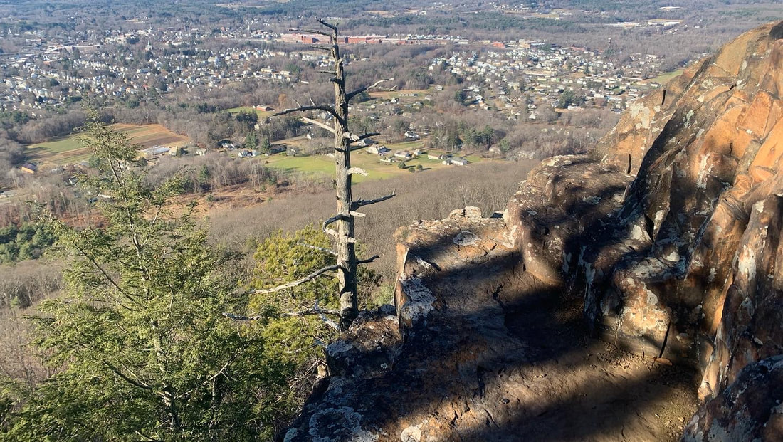
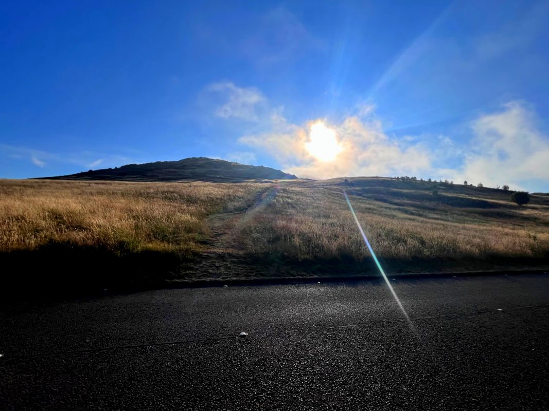
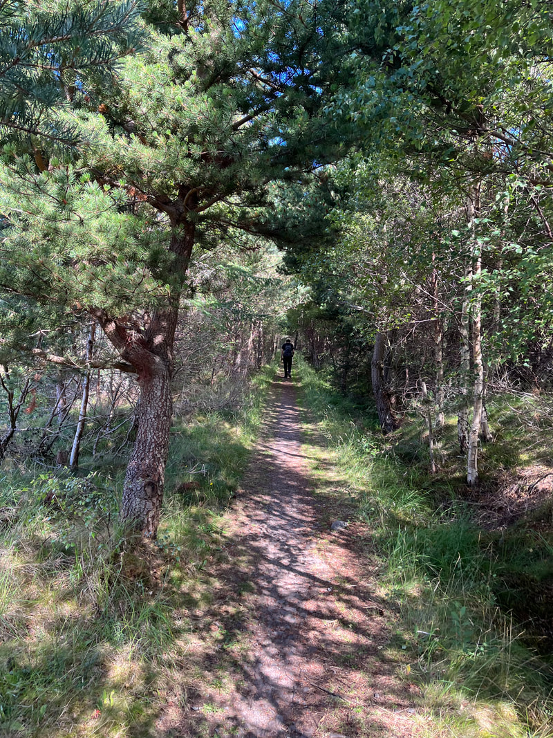
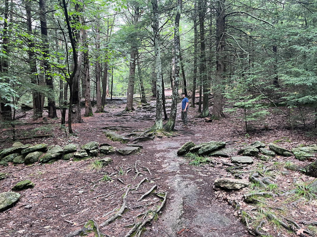 This is the trail to the top of Bradbury Mountain near where I grew up in Durham and Lisbon Falls, ME. My love of hiking comes from this place. There were too many picnics to count and the view from there "all the way" to the town next door (where later I went to high school) was probably one of the first expansions of my horizon. I am taking a break from hike-posting. It will probably just be a day or two. The reason is simply that I have work to do for my job. This is the job that theoretically has nothing to do with this blog...mostly. Of course in some ways they are related. After all life is not compartmentalized into "work and home" or "spirit and mundane". This morning I have to sit down and do some studying. The new church year is almost upon us and--like most church years these days--it presents us with a slightly higher degree of difficulty that the year before. Just a couple days ago we had our first Parish Committee meeting to plan for the fall. As is common every time, there were problems to be worked out and some victories to be celebrated. This year we have financial worries, worries about attendance and worries about how to sustain our small volunteer base. Our programming is shrinking, too. We are living in a world where people don't join things like they used to. Houses of Worship are struggling and dying not so much for theological or political reasons, but because people are turning inward. We are in trouble for the same reason the Rotary, or the VFW, or any other voluntary association is in trouble. Folks don't think they need to join with others for sustenance. They stick to their own now. Life is becoming transactional rather than connectional. This is to the world's detriment. My Sister-In-Law Hanne pointed out to me recently that online social networks are becoming the new "third place" set between work and family. They are mere shadows of the institutions that brought us together in past but that doesn't seem to matter. It is easier to exchange pleasantries with some acquaintance across the country than it is to chat with our neighbors. We can ignore our Facebook friends, after all. That is not the case with three-dimensional people. Also, like many toxic third places (the church has certainly been a party to this over the years) they are more about making us feel bad; pointing out perceived inadequacies rather than celebrating our strengths. Anyway, maybe I am being a curmudgeon. Whining won't alter things. Also, I do actually believe that something better is coming. We will draw back together. However, we are living in a period of transition that won't necessarily end soon. Those of us who have committed ourselves to healthy community--religious or otherwise--are in the position of envisioning what comes next and making our old groups (they may not be old institutions by the end) adaptable and flexible. 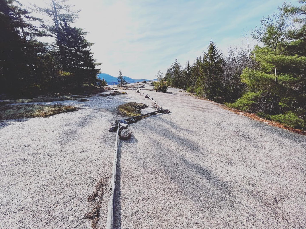 On the side of Mount Welch in NH they have put up this stick barrier to protect the sensitive "crevice ecosystems" that are struggling to survive. You walk to the right of the sticks to do your part for this fragile part of the natural world. I wonder what adaptations we can make to protect and nurture the places where we gather. So this is why I am doing this project: I am hiking and gardening, playing music and writing because the old way is falling away but the spiritual life is still part of a full life. Membership or even affiliation with a specific religion has fallen below 50% in this country. That alone is not something I worry about. What I worry about is where we can still find connection in this changing world. For me, I find it in the ways that I describe in the Walks Blog. In my mind this is more than "what I did on my summer vacation." It is a spiritual exercise. I am trying to find meaning. I hope that you can find meaning, too. The purpose of these essays--and I have few illusions concerning how many people will read them--is about exploration. I joined the church in high school and it has been a part my life since, but reaching outside its doors for meaning has always been part of my life. Now I am entering another year as pastor of a small, loving, non-creedal, progressive congregation. That said, I am drawn to see what there is outside our doors even more. I want to report to everyone what I find. We actually may not be a church so much as a group, anyway. This is about serving as the scout for that group to whatever comes next. Of course, what actually becomes of this group--this congregation--I serve is not for me to decide. Our future is being made by thousands of tiny personal decisions. That is how groups work--the healthiest ones anyway--and the process of discernment belongs to everyone. Here is what I wrote in my report for the Parish Committee concerning my upcoming sabbatical:
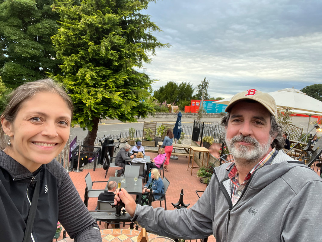
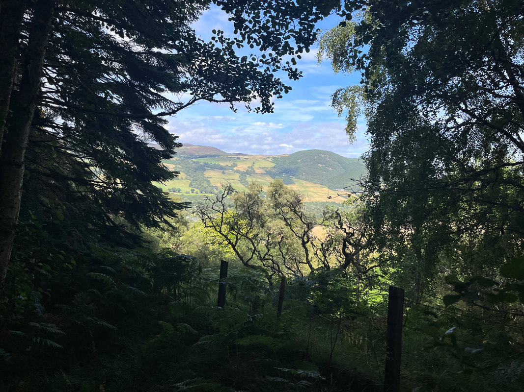
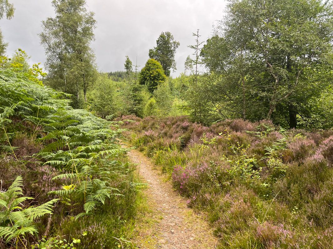
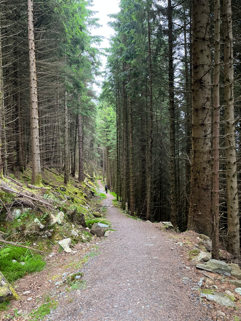
As you know, I believe that the modern church is in the process of fundamental changes that will ultimately leave it unrecognizable. Pessimists would say it is dying. I prefer to think of it as transforming. However, it does mean that some churches will die and others will shrink as we adapt to the new world we live in. Again, I have talked about this pretty consistently for years so I won’t get bogged down here. The question for us is how we adapt to lower budgets, lower attendance, and lower commitment in general. I will be (as I have been) doing some reading and reflecting on this subject while I am away and you will hear about those reflections upon my various returns. I hope you will see me as a resource during this time of transition. Here is the thing: What Eliot Church becomes is mostly dependent on what you make of it. As staff we have led, advised, and imagined this congregation toward a future. Ultimately, though, it is you who marks the path and walks it. As always I will be encouraging you to think about what is most important to us as a congregation and what we can do to maintain excellence in those areas while understanding that we may become leaner than we have been before. Our congregational polity puts the responsibility for direction on the congregation, itself. Anyway, Thanks for listening. I have a warm pot of coffee and a lot of reading and planning to do. My sabbatical is indeed coming up and these explorations are a big part of it. I do not plan on sprinkling much about the church into my posts. I certainly haven't yet! I do hope, though, that you find something useful either here or elsewhere on your journey. In any case I will be reporting in when I can... Drumnadrochit to Inverness Hiked on August 10, 2022 As I was researching the Great Glen Way there were quite a few complaints about this final section. It is the longest (officially 19 miles, functionally more like 21). The views of the loch fade away after a while to be replaced by forest trails. Also, there are one or two particularly brutal paved sections. After the highs of the two days before, it can seem like a letdown. However, I think it was my favorite day of walking. The ecosystem changes were regular, the views (both in the grand sense and in miniature) were wonderful. It also damn near wrecked me. So there is that. The trail opens with a mile or so of road walk along the A82 which cuts the length the Great Glen, frequently close to the lochs themselves. That mile we had to be driven for safety reasons on Day 2? That was the A82. Most days involved a period along it. It can be a bit terrifying. In Britain the roads are narrow so the rear view mirrors hang over the sidewalk--if you are lucky enough to have one. It pays to walk single file. I didn't take pictures of this part, though it was pretty. I just kept pushing on, willing the actual trail to begin. It did begin, of course. We turned left at what looked like--and probably was--somebody's driveway to climb through farm fields on our way toward the ridges that we would be off and on all day. We got some nice looks at Loch Ness and Urquhart Castle. We also encountered some hikers heading the other way who gave us words of encouragement. We shortly entered another managed woodland that led up to our first resting place. We settled in to the view for a little while and collected ourselves. This section of forest was maintained during the war by a group of Newfoundlanders, many of whom never went back to Canada. They stayed here, got married, and become part of the local communities. We learned that being a "Newfie" (or descended from one) is a thing in these parts. It is interesting the way we humans move around, often because of some form of conflict or distress. We are still doing it. 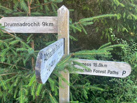 A sobering sign in the Abriachan Land Trust A sobering sign in the Abriachan Land Trust After our rest we climbed a little more and--still in the same general territory--we started on a dirt road. A plaque around here told us about the Newfies and it gave us something to ponder for a while. Eventually this road wound its way into some more populated paths. The Great Glen Way passes through land own and maintained by the Abriachan Forest Trust. It is a park with trails for local consumption. It was good to see folks enjoying the weather and each other. Here we bumped into the Austrian gentleman we had breakfast with a couple days earlier. He had been dropped off a few miles ahead and was walking back to Drumnadrochit for the night. This was his plan when we talked to him then. Cutting Day 5 into two days isn't the worst idea... 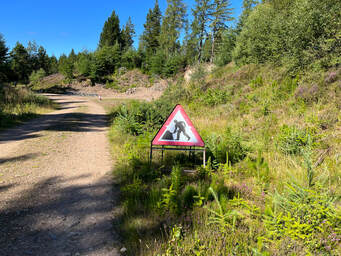 I once heard an interview with the person who helped design Britain's signage. She described this one as "A man fighting an umbrella". Abriachan Trust work in progress. I once heard an interview with the person who helped design Britain's signage. She described this one as "A man fighting an umbrella". Abriachan Trust work in progress. The Abriachan Forest Trust is made up of former logging land. This accounted for the dirt roads and the general roughness of some of the spots. This will all soften over time as nature has a chance to reclaim things. It is also very pretty just as it is. I don't mind a work in progress, particularly if it is as accessible as this one for day-use. The more people who get out in nature the more we will value it and, maybe, do more to preserve it. 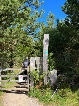 The first of many painted signs for the eco-campsite The first of many painted signs for the eco-campsite As we passed one of the Trust's primary parking lots, the Great Glen Way made a turn onto a more narrow section. Here we had a short run of the sort of trail we are familiar with in New England. This led us through a lovely stand of trees with glimpses of farmland beyond. Along the sides there were hand painted signs advertising tea; a little "outsider art" calling us forward. We had been told that the signs led to a "must-stop" along the way. When we reached the short turn off we followed it, passing the other people we had breakfast with two days before. They promised that we were in for treat. Of course that was exactly what we got! The Abriachan Eco-Campsite and Cafe claims--among other things--to be the highest inhabited croft in Scotland. I have no reason not to believe them. What I know for sure is that they make a good vegetable soup and the best lemon cake possibly anywhere in the world. We had to wait a bit at our picnic table in the woods but that was fine too. We were a third of the way through the last day of the hike. Stopping and enjoying the natural world around us was exactly the thing to do. In addition, I learned that they are responsible for maintaining the trail on their property. So that pretty 3 miles are also theirs. Nice work all around, for which I, at least, am grateful. We also had our picture taken for Facebook. It is sort of an unofficial record of who did the Great Glen Way. Everybody does as it is the way you can see the other hikers you met on your journey. 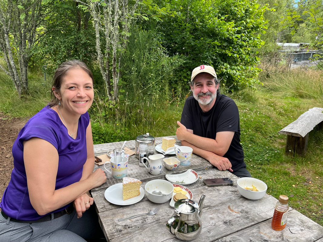 Cake Cake I was super hangry by then. So it was great to get some food in. That cake was amazing but enormous. Fortunately they gave us doggie bags and we munched the rest as we walked along. The next big step was another road walk. However, unlike the A82, this was beautiful and almost compensated us for our sore feet. The landscape varied once again from forest to moors. It was around here that I realized that while the first four days were about water, this day was less so. This was about the varied foliage, the dramatic hills, fields and wind. It was also about the challenge of getting done. At the end of Day 4 we had our doubts. Since we were on our last day we took the time to appreciate what we saw. We realized, of course, that it would end eventually. It is the sort of thing you look forward to...but not entirely. After all, hiking like this means living in the current moment with fewer worries than what you will eat, where you will sleep, and if you will ever walk again. 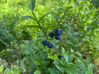 Some species of yum. Some species of yum. We missed the views when we got off that road but not the tarmac. Leaving the hard ground for a while was just fine. Soon we found ourselves in another woodland with, fortunately, many more berries. In this case they included bilberries, or at least we think that was what they were. They appeared to be a variation on the wild low-bush blueberries we are familiar with. Again, they probably weren't nourishing so much as a fun reason to move slowly, which was what our bodies needed. As we harvested, the landscape changed yet again into an old forest with the occasional impressive stone wall. We felt pretty alone by now, having shaken off the park hikers. This, too went on for miles. We weren't complaining...much. As time went on we started to see more folks. We would intersect with a road from time to time. We knew that Inverness was out there somewhere. It is a Lowell, MA sized city. It cannot hide forever. Eventually it peaked through the trees and we slowed a bit, soaking in our last good views before turning and working our way downhill into a much more urban landscape. 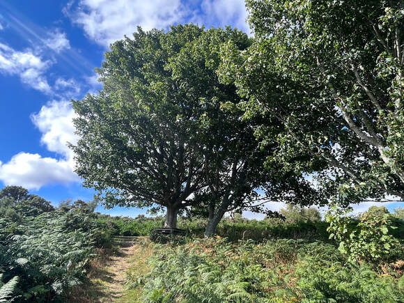 This was a great resting spot under a big tree. I sat here for a while before the final descent. This was a great resting spot under a big tree. I sat here for a while before the final descent. I have to say that the last bit was rough for me. The trails--mostly through public parks--were pretty but paved. I was feeling the cumulative impact of miles of walking. It was good to be heading down, however. There was even a short stretch back on the Caledonian Canal that we were too tired to take a picture of. After working our way through housing estates and sports fields we hit the River Ness--apparently one of the shortest in the country--and the Ness Islands. Then we found ourselves in town, climbing our way up city streets to Inverness Castle, which is the official end of the Great Glen Way. The Castle (really a castle-looking public building from the 19th Century) is being renovated so the end marker was put in a park nearby. We took our selfie then stumbled off to find the B&B for the night. I said earlier that I was wrecked. I am not kidding. All I wanted was a bed so the B&B host booked us a dinner reservation at the hotel across the street which was excellent! It was a nice way to end with good food and conversation with the owner (we talked politics, business, and religion). Al's favorite B&B was the night before but I have to give the edge to this dynamic combo. If you are ever in town get a room at the Dionard Guest House and grab a meal at the Crown Court Townhouse. They were a lifesaver and a wonderful welcome to Inverness. We spent the next day bumming around the area. We took a bus out to the Culloden Battlefield and a boat back to Drumnadrochit to see Urquhart castle up close. From the boat we saw a bit of the way we took on Day 5. It was a good feeling to know we had done a thing. The best part, though, was when we had our dinner at a bar right across from the end point of the Great Glen Way. We sat on the terrace and watched people who had obviously been out hiking all day walk up to the monument, touch it, and grab a selfie just like we did. Then they would wander off to the rest of their lives.
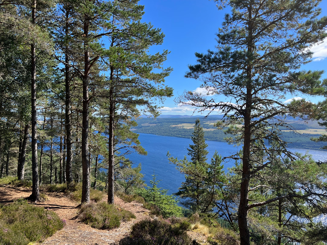
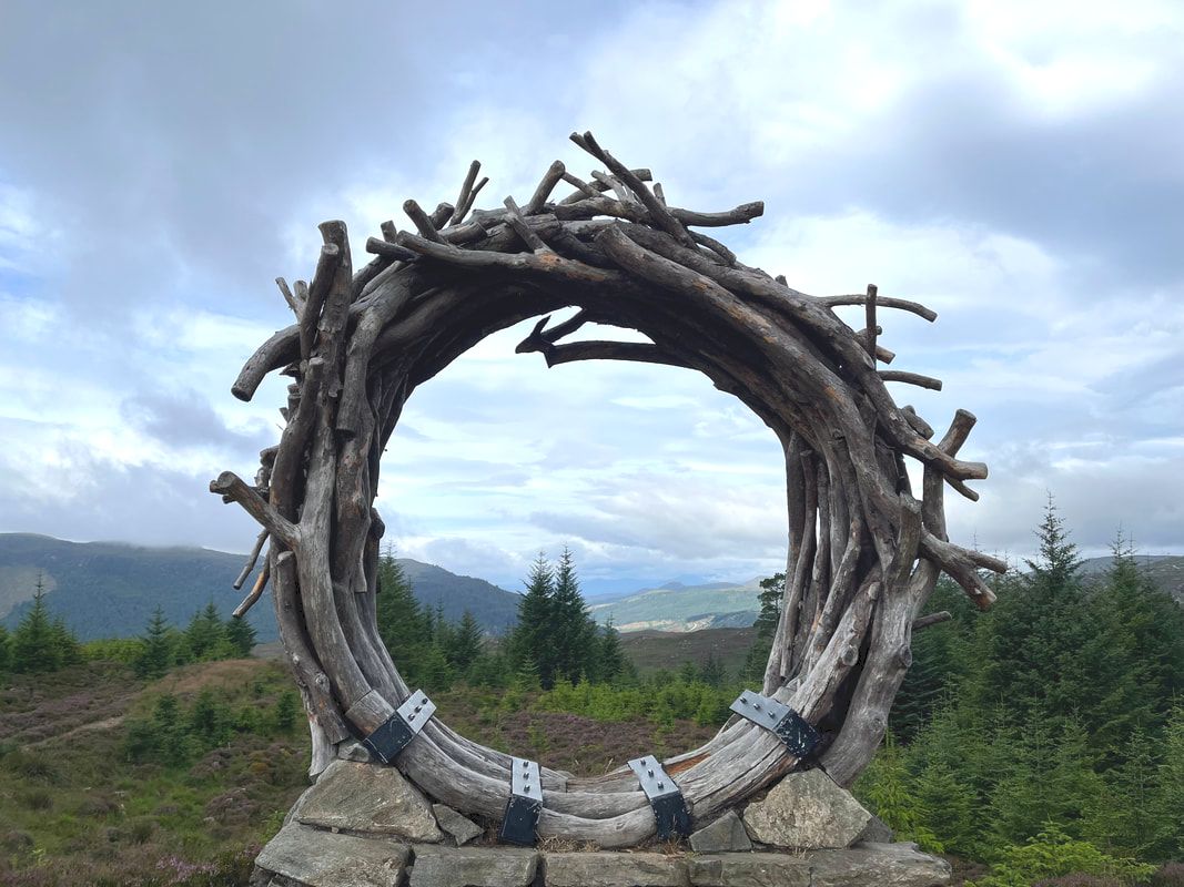
We wanted to cheer for them but didn't. Silent witness seemed more classy and we didn't want to get kicked out of the bar. When you set out to do something and finish it, other people don't always get what the big deal was. It doesn't take that much time to say "I hiked the Great Glen Way" and you cannot describe all that happened to make others get it. Not only did we have all those experiences on the trail but we spent weeks--over a year actually--planning; matching budgets and schedules to get away to do this. We postponed twice and picked a time when we had little wiggle room to get there and get back. We crossed the ocean post-plague. We talked to all kinds of people and solved all kinds of problems. It was a journey even to get to the starting place in Fort William. It would be a journey to get back home. Someone else might do all the same things and not think it a big deal. They may have different abilities and resources. Their big struggles are elsewhere. The trick is to hike your own hike and to celebrate your own victories no matter how big or small. 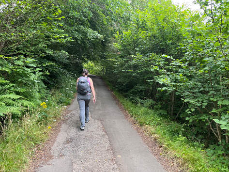 That beginning walk out of Invermoriston That beginning walk out of Invermoriston INVERMORISTON TO DRUMNADROCHIT Hiked on August 9, 2022 In the morning at breakfast we made the discovery that everybody at the B&B was hiking the Great Glen Way. The night before at the hotel bar we found out that many of of the people staying there were hiking it too. Camaraderie is great. We compared notes on the trip so far and found that each person was tackling it in a different way. At the hotel a couple of twenty-somethings from the Netherlands were going in the opposite direction. At breakfast we talked to two women who had started at Fort Augustus instead of Fort William and were planning to arrange a cab through "the boring parts". Another person was doing a variation of what our friend Beth from Day 2 did. He was going to hike a full day and then come back to the B&B to hike a much shorter hike the next day to limit the big Day 5 mileage--if you broke it into 5 parts--that loomed for all of us. Our own journey--like that of our compatriots going the other way--was straightforward; the whole thing in 5 days. We had a flight to catch, after all, and couldn't budget more time. Still, these other plans sounded pretty good too. The big attraction of Day 4 was yet another high road. After leaving the Bed and Breakfast a bit ahead of everyone else we marched past the hotel where we had been the night before, turned right, and started climbing on a small road. It was super-steep for so early in the morning and a bit much for our legs. After a while the high road and the low road split. We continued our climb now at a less strenuous grade. After a while we rose up from the trees. 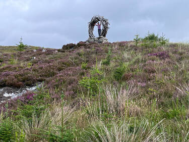 Al in the viewcatcher Al in the viewcatcher The high road features the way's special iconic thing--the "viewcatcher"--which is a ring of found wood that frames the 35th best view of the day. Why not the best? We talked about that and decided it was to emphasize the "first" good view to remind us to keep our heads up. It is fairly early on the trail and there is much to come. Here--coming the other way--we encountered a fellow hiker whose approach was perhaps the most unique. He had a massive backpack and was carrying a bag in his hands containing a standard-sized (like for car-camping) two person tent. He set the bag down and we took pics of each other around the viewcatcher. It turns out he is taking his time, starting and stopping whenever he felt like it, averaging around 10 miles a day. This sounded strenuous in some ways. It was so much more weight than a backpacker would normally carry. However, if you have all the time in the world, there is an appeal to sitting frequently along the trail and enjoying a comfortable camp each night. In each version of the hike we heard about there was a goal to be mindful. Some did this by lightening their load. Others shortened their daily mileage. Some shortened total mileage. This was another approach; to carry a load so large that you have to move slowly and practice awareness not just of the landscape but your body and your mind. We left the heavy hiker there at the viewcatcher. He needed the break! Then we continued to climb. I am not kidding about the views. This whole trip felt like an embarrassment of outdoor riches. Everything was perfect and pretty. The weather--unusual for the highlands--was cool, clear, and relatively rain-free. That viewcatcher may or may not have actually been a reminder for us to look up from our feet, but we used it that way. We remembered to take the occasional break and to make sure we appreciated the constant unfolding of the scenery. 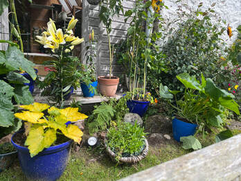 An enviable container garden An enviable container garden Dipping back into the trees after the high road just presented us with another landscape to enjoy. This one had raspberries. Our pace slowed once again. There were so many! It appeared that some of the hikers didn't like them because they weren't fully ripe. This left plenty for everyone else, however. I am not sure they counted as a true supplement to our food supplies. Still, as a way to connect with where we are, eating is always a great idea. To that end we took a short detour to the Loch Ness Clay Works which was a pottery studio and tea shop. The shop was inside with seating in the garden around the corner. This was a fabulous diversion. We sat and had tea surrounded by the working shop. The few other people were evenly divided into locals and hikers, which was fun. Al bought a necklace as I admired their vegetable patch, then ultimately we headed back out more rested and refreshed from the encounter. 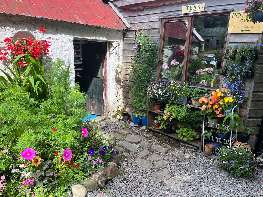 Entry to the clay works studio Entry to the clay works studio Soon we were out on another small road. It wasn't that bad, actually, except for the fact that our feet hurt. There were more farms and summer camps to look at along with the view down toward the loch. After a while we entered some "managed forests" with their cutting and reforestation zones. It was nice but so very long. after miles of this we were very relieved to turn back into the woods, with its shade and somewhat softer footing. We still had miles to go and our spirits were flagging a bit. This section was probably our lowest morale moment. We were tired. We still had another day--the longest--before us. We could sense, too, that Drumnadrochit was approaching even though we could not see it. We were flagging, but we kept on going. 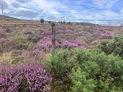 A pretty spot on the side of the road A pretty spot on the side of the road One of the things we could always expect at the end of each day was a road walk. This was never really our favorite part. The day before we had encountered those cool old bridges. However, for the most part there is little to distract from the pavement except for the cars passing dangerously close to our heads. I found it helpful to keep in mind the awesome views along the way. Some of them were on roads, too! In any case, we made it to our destination; the Kilmore Farmhouse B&B. Maybe it was because of the hard day of hiking but it seemed pretty darn good to us. We received a friendly and efficient welcome as they were no strangers to hikers. The breakfast was pretty good too. This place was just what we needed. It was Al's favorite! Our day wasn't quite over as we needed to find a place to eat. As you may have gathered in the narrative, this has been a problem each night and we solved it in different ways. This day we were really hungry and tired and--after fits and starts did find a place to eat. Drumnadrochit is a small place with a number of attractions for visitors. There are a few resources for people visiting Urquhart Castle or interested in one of the two Loch Ness museums in town. One museum focusses on the history and the ecology of the loch. The other is "NessieLand". We were too tired for any of these these and saved the castle for a boat ride after we finished the whole trail. We never did get see the museums. Maybe we will have to return some day.
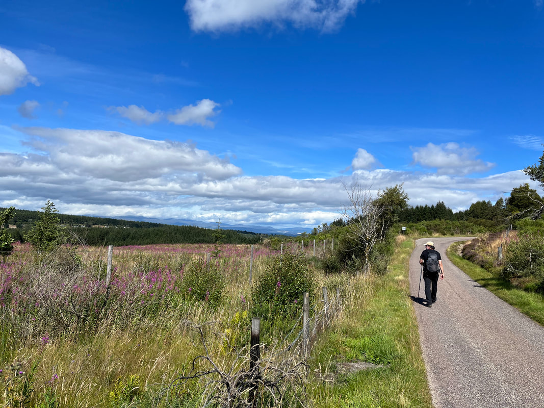
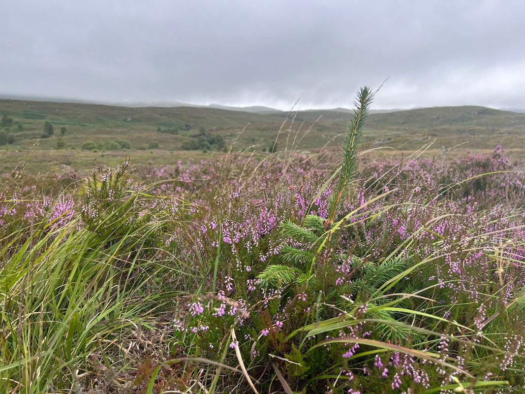
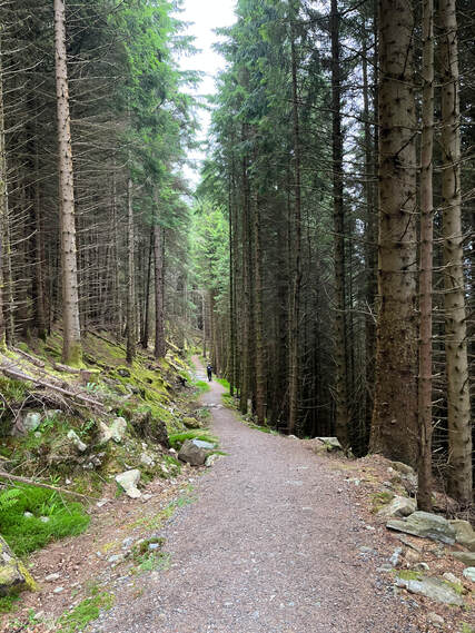
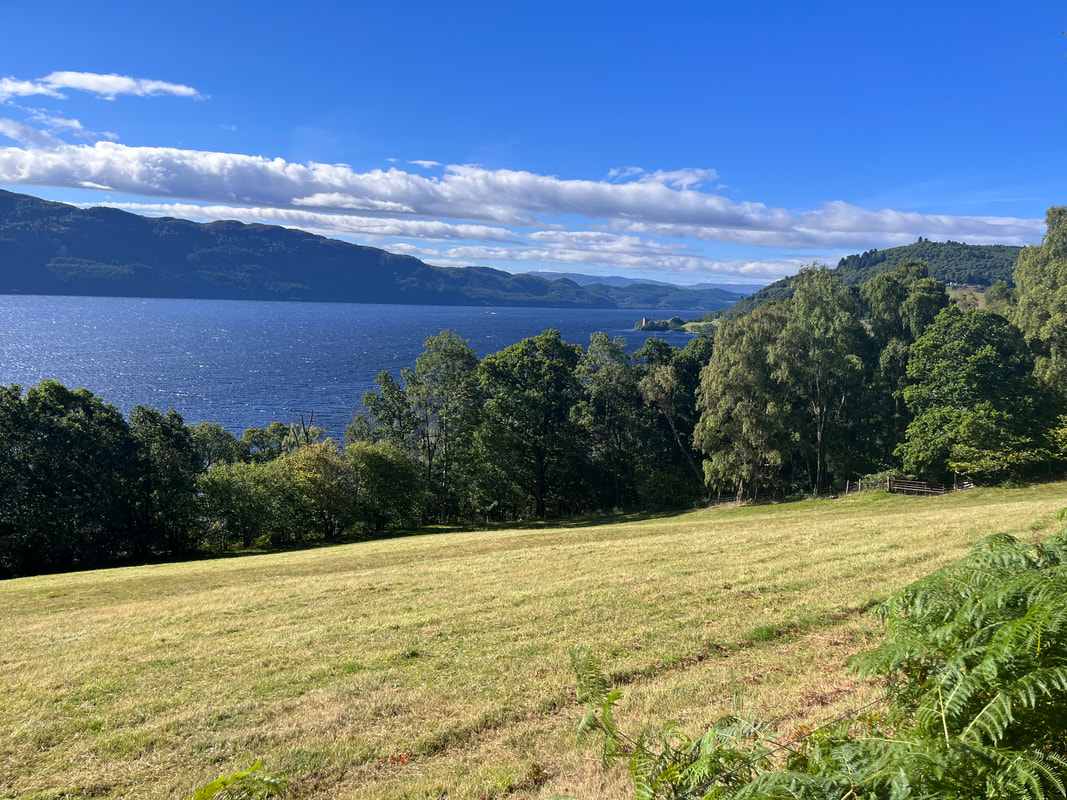
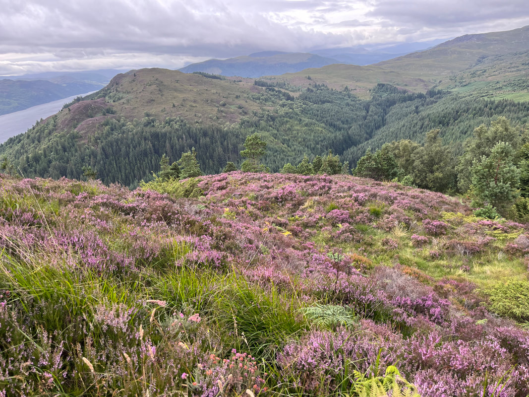
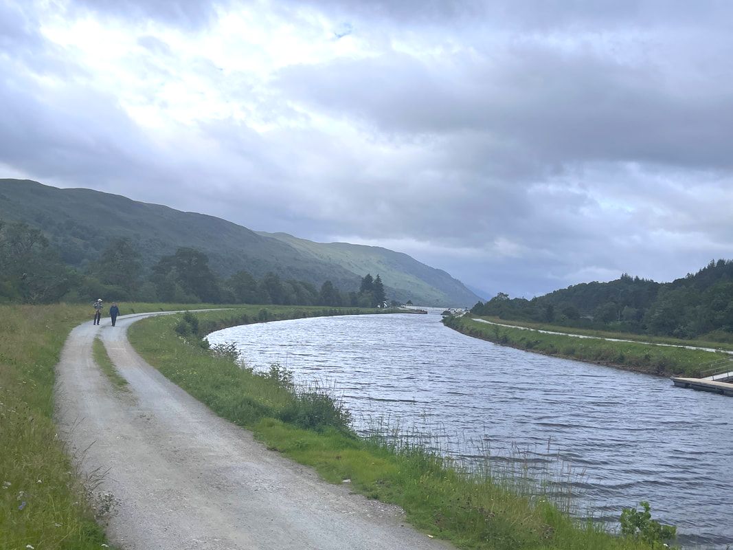
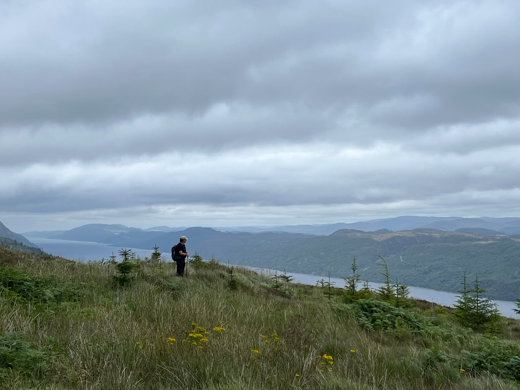
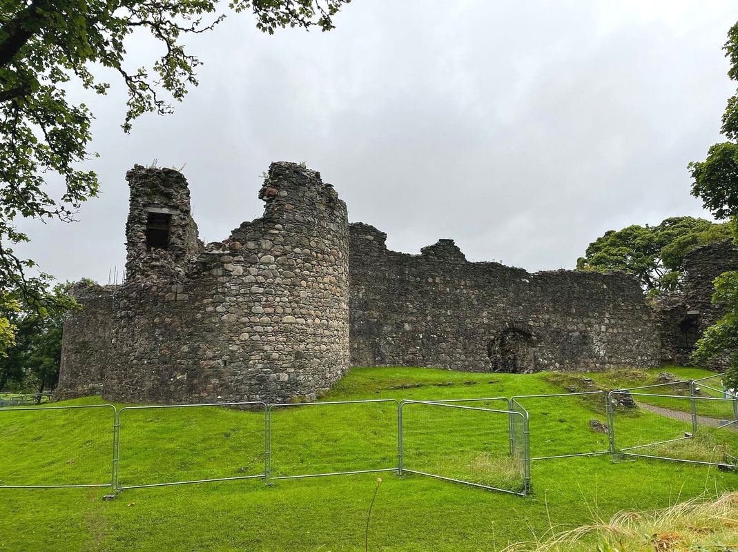
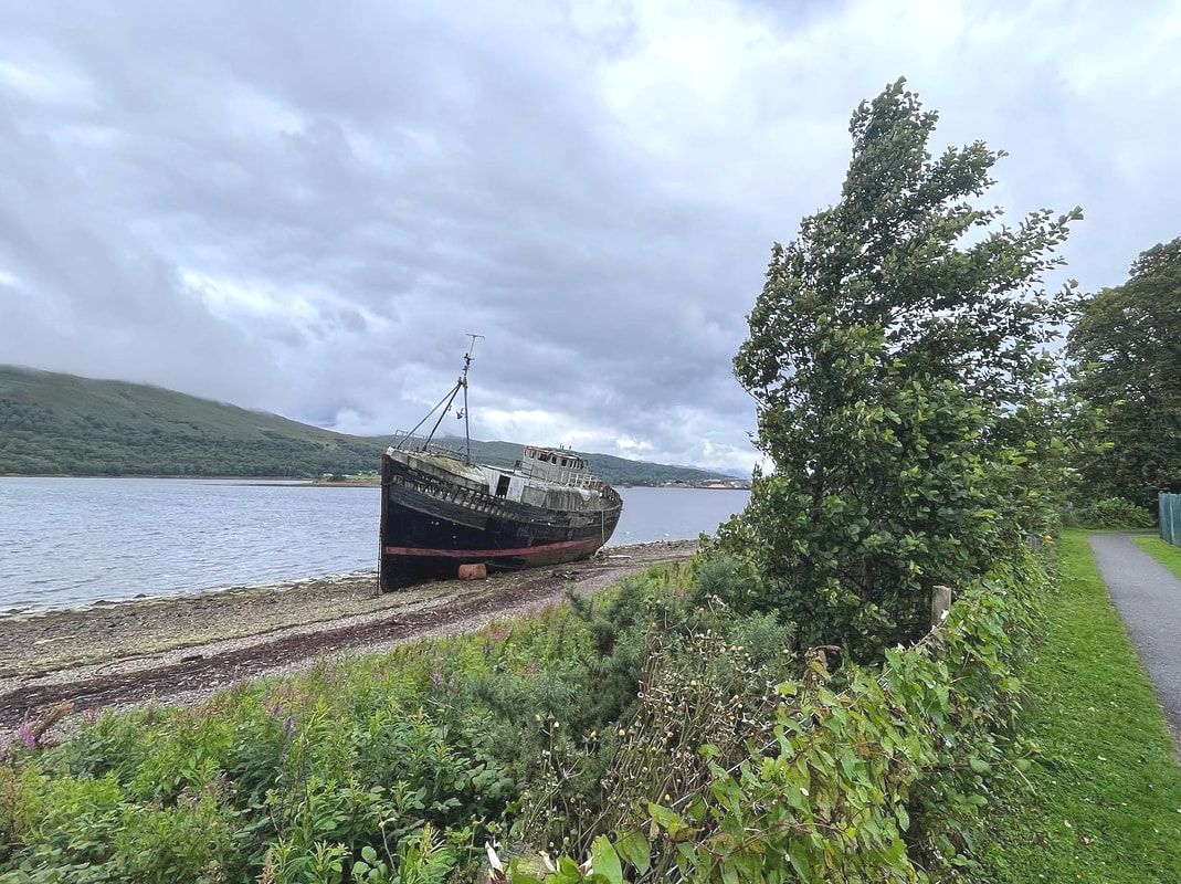
We did find a place to eat, though, by heading right out to beat the reservations crowd. However, it was another mile or so each way, so when we got back to our bed...we slept. 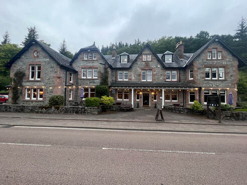 Invergarry Hotel. So very cool. Invergarry Hotel. So very cool. Day 3 INVERGARRY to INVERMORISTON Hiked on August 8, 2022 We like to get up early and start hiking when we can. On this particular day we managed to do so. The folks at the Invergarry Hotel handed off a couple breakfast rolls (breakfast sandwiches in North American parlance) and a coffee for me. We proceeded on out the door with food in hand to complete the link. The trail actually runs behind and above the hotel, itself so we had no trouble finding it. 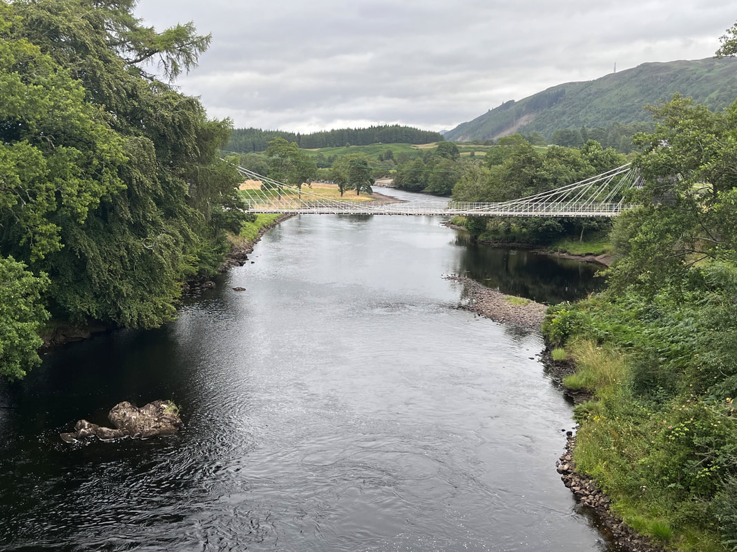 Yes...the Bridge of Oich Yes...the Bridge of Oich After an initial climb, the link continued to provide a pretty walk through a variety of foliage. There were a couple of views of Loch Oich though the trees but it was mostly a terrestrial walk for the first few miles. Still, it was great to continue our break from the canal. The ground was softer underfoot. In many places it resembled the sort of hiking we are familiar with in New England. This was a nice change from the harder packed sections. The first few miles drifted pleasantly by as we both ate our sandwiches and I finished my coffee. The last gift of the Invergarry Link was the Bridge of Oich. This suspension bridge was built in 1854 by brewer-engineer James Dredge. We first got a view from the newer bridge and then took a slight detour to walk over it. Mostly it was just pretty and graceful, but this hike-about-water also has a subtext of engineering. The lochs, the canal, and even the many different boats make one think about how hard we as a species have worked to harness nature. Yet we only succeed for a time. This bridge was replaced by the one the trail (and incredibly large trucks) go across. Now it is preserved as an illustration of advancements in bridge construction and--well--to look at the water... 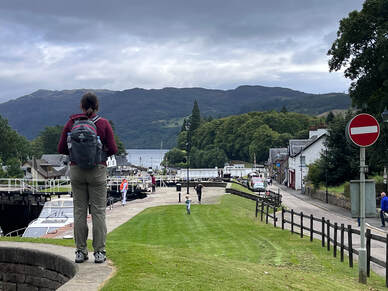 Al contemplating Fort Augustus and our first glimpse of Loch Ness Al contemplating Fort Augustus and our first glimpse of Loch Ness Ultimately, though, we rejoined the main trail for the rest of the morning. It was hard packed and flat as a potato scone (which are excellent and not at all what one would think). The views were beautiful of course, but...it did become something of a slog after a while. We had been inundated with things to look at the whole trip, after all. It was a challenge to take it in at times. That said, there was ample free food. Free of shade for the length of the canal, wild--or perhaps feral--raspberries were in abundance! We stopped to pick them, grabbing a handful in order to continue our march along the bank to the next handful. Our lunchtime destination was Fort Augustus. Like Fort William at the beginning of the Great Glen Way, it has a reputation for being a gathering place for hikers, bikers, boaters and other adventure-vacationers. As we got closer--and it got later in the morning--the foot traffic increased and we noticed a number of kayakers on the canal. The Great Glen Way can be done by boat and a few of the people we saw were clearly doing just that. Their kayaks were weighed down with packs just as our backs were, which made it easy to pick them out among the sailboats, barges, and family day trippers questioning their decision to rent a skiff. At each lock there are instructions for how and where to portage. Maybe that would be a fun trip for future plans. Located at one end of Loch Ness, Fort Augustus itself was very busy. The places we had stayed in since Fort William had been tiny. Now we were back in the land of sight seers and bus tours. Still, it had its advantages. We dropped into the visitor center, did a little souvenir shopping, grabbed an inadequate meal right at noon at the first restaurant that opened, then worked our way back out of town. 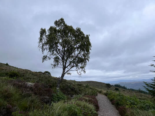 This is where things changed. The morning canal walk had vanished and we began our climb toward the first of the "High Route" options. The low (or traditional) route stays closer to the lake and promises an easier go if it. However, over time the demands for something more spectacular were heeded and these higher routes were born. This one was pretty special. After working our way through forest along a small stream featuring many waterfalls--remember this hike is about water--we broke out onto a ridge and highland moor that dominated the rest of the day's walk. 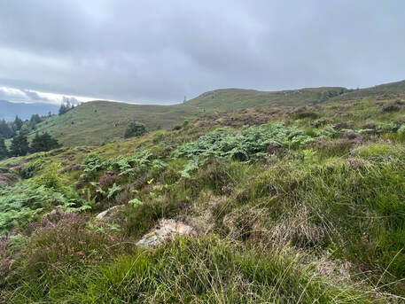 In a previous post about Mount Jefferson in the White Mountains I talked about the failure of photography to capture the whole experience. This was one of those times. You just have to see it. I have so many pics of this section of the hike and when I go through them...they just aren't right. There was a welcome wind and a constant view of Loch Ness in the valley below us. I felt like I was in a movie. We found places out of the wind to rest and admire the view. We were drawn to the foliage around us as well. It was a full sensory experience and a highlight of the trip. This high road was one of the reasons we decided to take this hike. It was well worth the planes, trains, and foot power to get there. 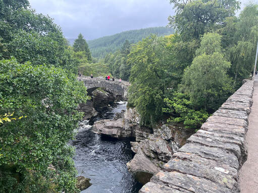 More cool bridges greeted us in Invermoriston. The one we were standing on was from the early 1900's. The other is from the 1810's More cool bridges greeted us in Invermoriston. The one we were standing on was from the early 1900's. The other is from the 1810's After all that we still had a few miles to go. We began our descent through the forest and into farmland, ultimately hitting a road to the town of Invermoriston and our B&B. Invermoriston--like Invergarry and Spean Bridge--has little in the way of restaurants, which is why we made sure to eat a not-very-good lunch in Fort Augustus. We did, however, stop by the Glenmoriston Hotel for a beer and to admire what other people were eating. We were over halfway on the hike at this point, but the second half of this day felt like the pinnacle. 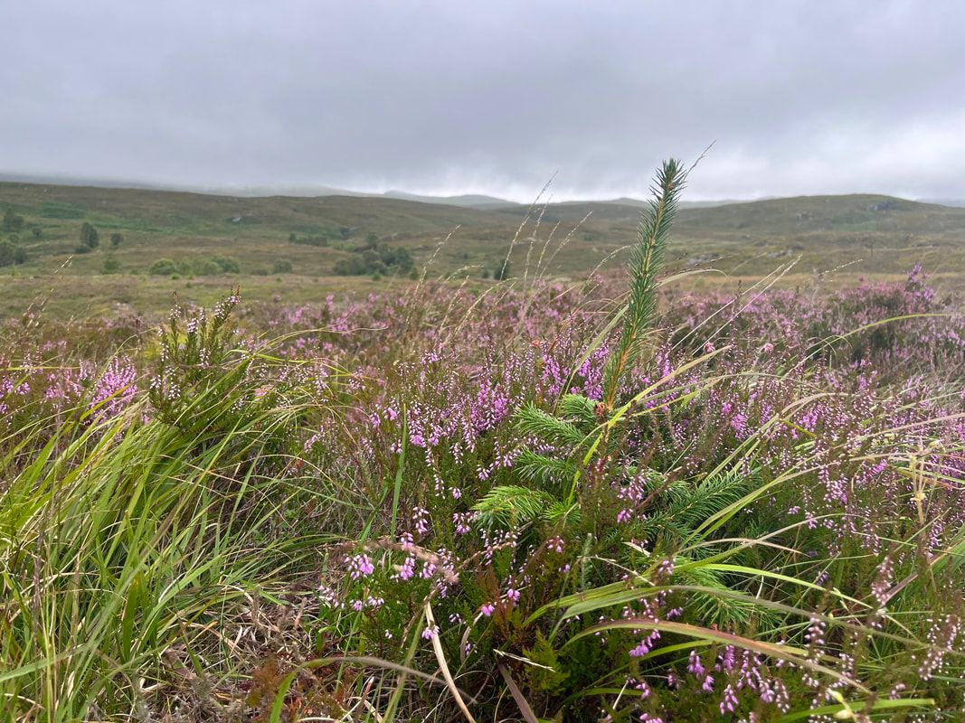 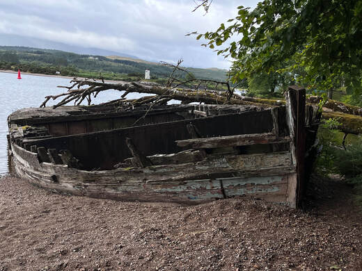 I wasn't kidding about the old abandoned boats. This one was just above the Garilochy Locks where we started our day. I wasn't kidding about the old abandoned boats. This one was just above the Garilochy Locks where we started our day. GAIRLOCHY TO INVERGARRY Hiked on August 7, 2022 We got up, had breakfast, and then bummed a ride with another hiker back to the spot we left the trailhead the day before. As I mentioned yesterday, the hike from the trailhead to the B&B was lovely but we didn't really need to do it again. Once we were dropped off, the other hiker (more on her later) zipped up into the woods and we followed a bit behind. The early part of the trail rose a bit--the first actual elevation of the trip--through a mixed forest and then dropped back down to the shores of Loch Lochy where we spent a good chunk of the rest of the day. The foliage on the forest floor possessed its own drama and we started to see (and eat) occasional berries. The loch, itself was dramatic as well. The wind created whitecaps from time to tine as we looked forward toward Lochy's end miles away. This was becoming hike about water. In most of our peak-bagging the questions revolve around elevation and the various ecosystems and views that are revealed as we climb. Here we had to change our outlook a bit. Even when we were above the loch rather than beside it, water was the dominant feature separating the mountains and supporting human, plant, and animal life. We could see boats out on the loch and raptors looking for fish. The wet soil supported those plants and the shore did what shores do; creating a buffer between worlds and a light soundtrack that puts one in a contemplative mood. 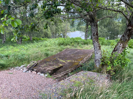 This is the remains of a dummy landing craft. The commandos would practice debarking under live fire! This is the remains of a dummy landing craft. The commandos would practice debarking under live fire! This is where that other hiker, Beth, comes in. While we were ambling along admiring the landscape unfolding around us Allison put her hand in her pocket and realized that she had our room key from the previous night! Beth--who was somewhere ahead of us and out of sight--was going to be returning to the same inn (she did the hike in 7 days and would be picked up and driven back to her end point by the innkeeper). We picked up our pace a bit to catch up so she could bring our key back with her. We finally found her at one of the old commando training sites where they practiced exiting landing craft in preparation for D-Day. 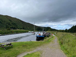 That blue boat is the barge/bar in question. That blue boat is the barge/bar in question. After that we hiked together as a group of three off and on until--for the last half of her day's hike and the middle third of ours--We gave up attempts to maintain distance. Beth is retired and is a regular overnight and thru hiker. A few years ago she did the entire Appalachian Trail and was full of stories about that time. We shared about our lives as well as the miles drifted along. Some of those miles--many in fact--were on active logging roads as we rose above the shore. This created a bit of an interesting dynamic as we would go through a "protected" wild camping area, then through a cut zone, and then into farmed forests in various stages. Growing up and hiking in Maine, all these landscapes are familiar to me, but here they were in miniature. Each had its own ecosystem as well, which made close observation entertaining and informative. At the cut zones, of course, we could look out from our otherwise enclosed ridge and see the loch down below. We started to feel spoiled for nature. 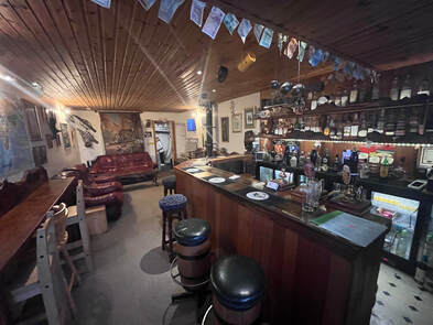 The tiny bar inside The tiny bar inside Eventually--after about 12ish miles we reached the end of the loch and picked up the canal again. This area--Laggan Locks--was where we said goodbye to Beth. Before we departed, however, we took a moment for celebratory drinks at a bar located on a barge moored in the canal. This place was just cool and was the only restaurant for miles. 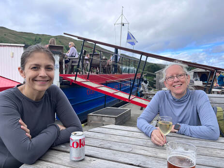 Al and Beth celebrating getting this far! Al and Beth celebrating getting this far! For most people I know, hiking is a somewhat solitary pursuit. Most of the hikers I know--but not all--can manage a friendly greeting when you pass them on the trail but they seem to like to keep to themselves or their small group. I have written about this before. As a naturally social person, however, I welcome the friendly chance encounter. Hikers share the same hobby and interest, after all. Why wouldn't we want to chat sometimes? In my other areas of non-work interest this socializing is expected to some extent. Old Time musicians talk to other Old Time musicians and congregate at festivals for that purpose. The same goes for Tabletop Role-Playing gamers. It isn't just shop-talk either. It is life-talk. Hikers--some of them anyway--are deep people with things to share. I enjoy the conversation even when it is interspersed with silence. It was great to spend part of a day with Beth. We had a few shorter encounters with others during our hike as well. I wonder if the length of the trip alters the dynamic a bit. We are not running away for a few hours. We have days for moments of isolation. Perhaps the connections are easier to make then. 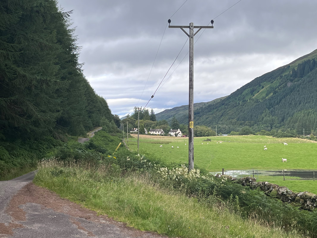 A pretty spot on the Invergarry Link Trail A pretty spot on the Invergarry Link Trail After the break we set out on our final leg of the day. The "ways" that make up the Great Glen Way include some where the primary goal is to add degrees of difficulty, different landscapes, and more dramatic views. However one exists to exploit the resources of the small town of Invergarry. The "Invergarry Link" was our next move as we were booked to stay at the Invergarry Hotel. This is the sort of thing that bugs purists. It is not "traditional" after all but, honestly...I liked it. The link included a reasonably steep climb up a small road and wended its way through farmland, mostly, on its way to our evening destination. The scenery was a nice variation from what we had before. There were a few more homes and a number of agricultural buildings and equipment. It reminded me a little of upstate New York, where I would spend my teen summers farming. Perhaps it was these positive associations but I almost forgot how much my feet hurt! 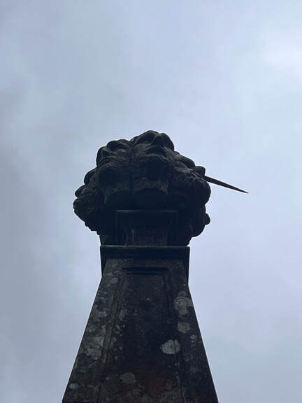 The ominous seven heads. You can just see the dirk. The ominous seven heads. You can just see the dirk. Also, without the link we would not have seen the Well of the Seven Heads. This trail is still rather new and there is one mile-long stretch where the road is too busy for walkers. Ultimately they will fix this but they haven't yet. Hillwalk Tours set us up with a person to call to deliver us safely through this spot and to our hotel. The waiting place was a coffee shop (closed) called the "Well of the Seven Heads" after a monument across the street... The monument, essentially, told a story. It starts with a murder. Alexander, the chief of the Keppoch family was killed in a brawl on September 25, 1663. The killers were Alexander Macdonald and his six sons. With me so far? It was a clan conflict involving a land dispute. The problem was that no one--given the power of the Macdonalds--was brought to justice. No one had counted, however, on the Keppoch bard Ian Lom. Lom was the "Gaelic Poet Laureate of Scotland." I mentioned him yesterday concerning the Battle of Inverlochy and pointed out that his shillelagh is kept in a museum in Fort William. "Bald Ian" (Lom means "bald") campaigned for the killers to be punished saying to one sympathetic noble "Abel is cold and his blood is crying in vain for vengeance. Cain is hot and red-handed and hundreds are lukewarm as the black goat’s milk." He had a way with words. Eventually he received permission to punish the evildoers. Long story short, he led a band of enforcers to find the killers. They killed the seven and probably others in a pitched battle, then brought their severed heads to Lord Macdonall at Invergarry Castle. Before he got there he took a moment to wash the heads in Loch Oich on the spot--tradition tells us--where the monument stands... Pretty. Darn. Metal. 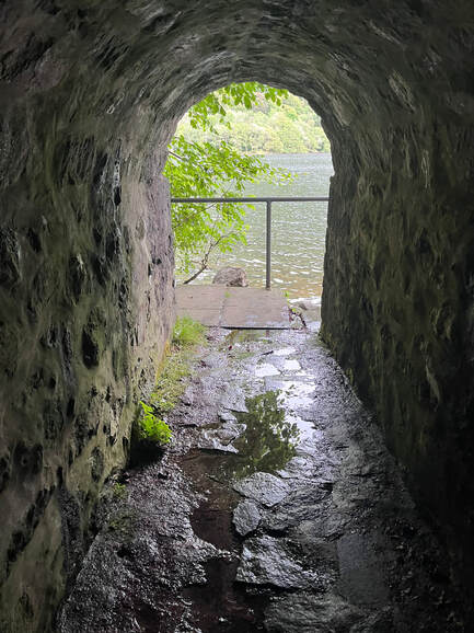 The little grotto under the monument. The little grotto under the monument. The monument is topped with a rendition of the seven heads. On top of the heads is a hand--presumably Ian Lom's--holding a dirk. Underneath the monument is a little tunnel and a room representing where the deed was done. The story is a dark one. Apparently in this nation of poets one should learn not to mess with one. This story alone made the link worth it. Who wants to walk along pretty canals and views of the mountains when this is the alternative? Finally, we reached the Invergarry Hotel, which may be my favorite hotel ever. It was really as much a large B&B as anything, but it had a cool garret room for us and there was a pub restaurant in the building. We ate well and slept well and got ready to set off the next day... 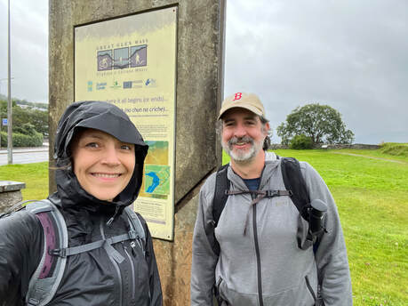 Selfie at the beginning before our feet hurt. In front of us is the traffic circle and the McDonalds. Selfie at the beginning before our feet hurt. In front of us is the traffic circle and the McDonalds. HIKED ON AUGUST 6, 2022 This trip was long in coming. We had talked about it and planned it in the before-times, then I injured my back. Then the plague put it on hold not once but twice. It was the classic case of 2020 vacation plans deferred. Then, finally, we managed to find a window in our busy schedules to hike the Great Glen Way. The Great Glen runs straight through the Scottish Highlands. You can see it on a map. It is a large fault line created by the smashing of tectonic plates and is now partly filled with water. Loch Lochy, Loch Oich, and Loch Ness settle into the deep valley. Now they are connected by the Caledonian Canal, an impressive project made obsolete by the railway shortly after completion. The Great Glen Way (actually Great Glen Ways but more on that later) runs along and above this waterway for 79 (or 73 or 80) miles from Fort William to Inverness. If you complete it, you can technically claim to have hiked the width of Scotland...albeit at its narrowest point. Along the way we experienced numerous and varied highland landscapes. There were castles (ruined and not) and numerous old stories that gave the whole trip a richness that occupied our imaginations over the many long miles. We did this in 5 days--hard mode--mostly because we had so little time. We stayed in B&B's rather than camped which, with an average of around 17 miles per day (including diversions from the trail), was greatly appreciated. We worked with a company that helped us book rooms and transported a bag a piece from the beginning to the end of our daily walk. Hillwalk Tours were a great "guy in the chair" resource, providing detailed notes on our journey. Finally, thanks go to my parents who contributed financially to this endeavor. Otherwise it would not have happened at all. Also, thanks go to our children, who were on their own adventures this summer and made sure they didn't need us. 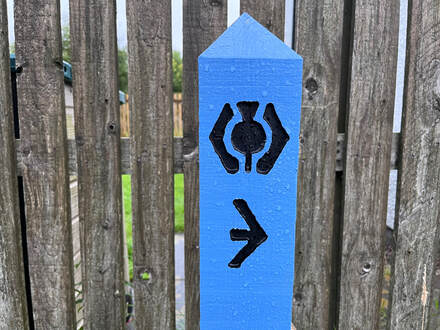 The way markers were pretty good but sparse for anyone accustomed to the trail blazing in New England. The way markers were pretty good but sparse for anyone accustomed to the trail blazing in New England. Anyway...Day 1. We started out in the morning from Fort William on the west coast of Scotland and proceeded East toward our evening destination of Spean Bridge, 3 miles off the official trail. It was raining off and on and we had about half a mile walk from our B&B to the trailhead. The trail actually began at the remains of the old Fort William and then proceeded over a traffic circle to the back of a McDonald's. Things picked up after that with views of nearby Ben Nevis through the clouds and a short stop to the ruins of Inverlochy Castle, once sacked by Robert the Bruce then rebuilt. The castle entered history once again in 1645 as the backdrop to the Battle of Inverlochy recorded for posterity by the warrior/bard Ian Lom. Now it is under restoration but is definitely worth a visit. After the castle, things got pretty suburban for a while as we walked through the town of Bannavie toward the Caledonian Canal. This morphed into a lovely walk along a public beach under construction, some sports fields, and an abandoned ship! Finally, we reached the canal, itself. There were a lot of bends and a little bit of climbing up to this point. However the trail was flat for the rest of the day. It turns out canal trails are a lot like rail trails. It was broad, well groomed--a bit hard on the feet--and multi-use with bikers, dog walkers, and joggers outnumbering the hikers by a wide margin. Still it added to the casual atmosphere as we got into our hiking rhythm. The flatness of the canal portions are what contribute to the Great Glen Way's reputation for being one of the easier multi-day hikes in Scotland. This is part of the reason we picked it. When we had first made the plan I was still recovering. Then the time-constraints required us to maintain a certain mileage. Still, the daily mile count is nothing to sneeze at. In addition, there are a number of alternate paths--we took all of them--with better views that increase both the elevation and the difficulty. This is presumably why they are going for the word "ways" now instead of "way". Everybody is hiking (or sometimes paddling) their own hike and the only key requirement is to get from one place to another under your own power. 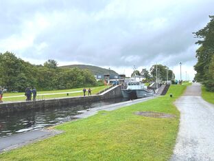 An inadequate picture of a boat going through Neptune's Stairs. An inadequate picture of a boat going through Neptune's Stairs. In addition to the castle and the ship, other highlights included Neptune's Staircase, the longest "staircase lock" in Britain. A staircase lock is--not surprisingly--a series of canal locks. They are used in areas where just one won't do. This particular engineering marvel was created by Thomas Telford, who is a bit of legend as a builder and designer. His name cropped up not just on this hike but in our explorations of Inverness and Edinburgh. We didn't take very good pictures of the locks (Gairlochy Locks were particularly picturesque) but, again, they gave us something to think about. 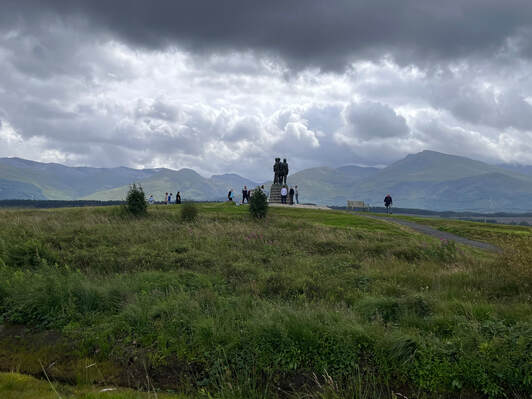 The Commando Memorial as we approached The Commando Memorial as we approached Finally, our hike along the road to Spean Bridge put us in the midst of farmland. We encountered a memorial to British Commandos during World War II. The Great Glen was used for their training, which was quite involved. All along the hike there were intermittent interpretive plaques explaining what that training entailed. Needless to say, many veterans of those units maintained an attachment to the area after the war. There was also another memorial over to the side where people had placed their own mementos of lost loved ones. Many of those were much more recent. It was a special spot and it was good to spend a few moments there. 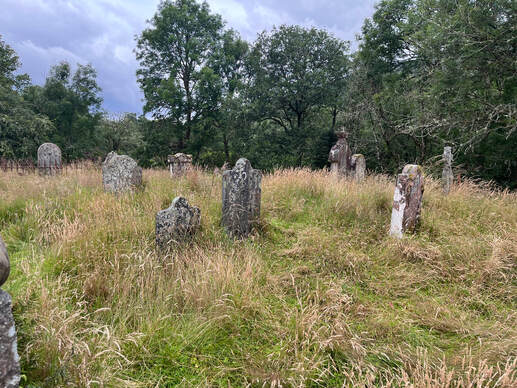 The innkeeper on the first night thought this graveyard might have been for some of the many people killed building the Caledonian Canal. It was located just down the road from Gairlochy Locks. Whether that is who resides here or not, it is worth remembering the toll these large engineering projects took. The first day was about self-care in a very basic way. We had to listen to our bodies to see where they would give us trouble. For me the pain was in my right shoulder. Stretches and strap adjustments were in order a number of times. These were good practice, not just for the hike but for life. One of the gifts of any physical activity is the chance to delve into how we are feeling and to find ways to shift the load around in ways that make forward movement possible and even enjoyable in spite of the burdens we carry. When we do this we find strengths to lean into as well as weaknesses to be aware of. Ultimately it was a good day. We got a baseline of history, culture, and the trail itself that served us well going on. It did not compare, really, to what was to come but we were engaged and enjoying ourselves. That said, we were pretty tired by the time we pulled into Spean Bridge. Once there we discovered that we could not find a place to eat! We had been warned by Hillwalk to make reservations in smaller towns but...we did not heed the warning. Instead we thought our early arrival would protect us. In the end we found a coffee shop that was about to close and grabbed a few things. Then we augmented the small meal with snacks from the convenience store instead. Then we hit the sack--after a call from our Appalachian Trail hiking son--in order to be ready for the next day. |
Adam Tierney-EliotI am a full-time pastor in a small, progressive church in Massachusetts. This blog is about the non-church things I do to find spiritual sustenance. Archives
June 2024
Categories
All
|
 RSS Feed